The Camosciara and its waterfalls, in Abruzzo National Park
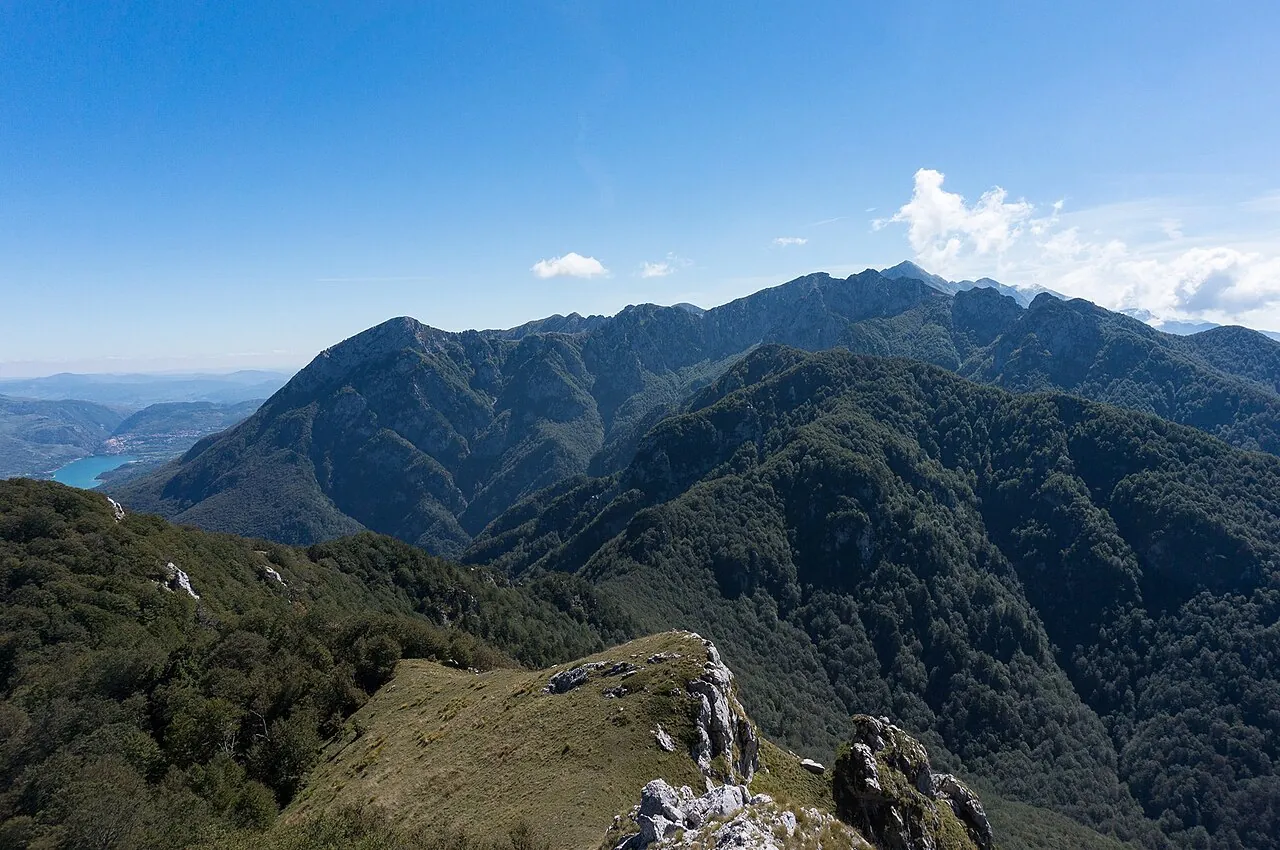
A valley enclosed by rock walls in the heart of Abruzzo National Park: you walk through the beech forest to the Ninfe and Tre Cannelle waterfalls and climb to the viewpoint, watching the ledges where chamois graze.
- Difficulty
- E Hiking
- Length
- 8 km
- Elevation gain
- +450 m / −450 m
- Time
- 3–3.5 hours
- Route
- Out and back
- Altitude
- 1030–1465 m
- Season
- Spring Summer Autumn
Download the GPXDirections to the start ↗
Saved. You'll find everything in My trip, where you can split it into days and see it on the map.
Saved on this device: you can open it even without a connection. All your saved pages are in Offline guides.
The topographic map loads OpenTopoMap tiles (an external server) only when you open it.
The story
Abruzzo National Park, founded in 1923, is one of the oldest in Italy, and it was also created to save the Apennine chamois, reduced to a few dozen animals right here. Today there are thousands of chamois, and they have been reintroduced on the Gran Sasso, the Majella and the Sibillini. The park's ancient beech forests are a UNESCO World Heritage Site.
Why go
Because it is one of the easiest places in Italy to see wild chamois, in a valley that looks like the Dolomites.
Practical information
- Start
- Piano della Corte (Civitella Alfedena)
- Finish
- Rifugio Belvedere della Liscia, back the same way
- Best time
- April–November
- Parking
- Paid car park at Piano della Corte, on the road between Villetta Barrea and Opi.
- By public transport
- Buses from Castel di Sangro and Avezzano along the valley, with few services.
- Water
- Fountains along the Camosciara road.
- Shade
- Plenty, in the beech forest.
- Huts and refreshments
- Rifugio della Camosciara and Rifugio Belvedere della Liscia.
- With children
- Yes: the first part is a road closed to traffic, almost flat.
Weather at the start
The forecast for the next 7 days at this spot: sky, temperatures, rain and wind.
Forecast by Open-Meteo (CC BY 4.0), from the models of national weather services. Your browser downloads it directly from Open-Meteo, and only when you ask. In the mountains and at sea the weather changes quickly: check the official forecast as well before you set off.
What to see on the route and nearby
More hikes in Abruzzo
- 1From Santo Stefano di Sessanio to Rocca CalascioE 6.4 km · +250 m · 3 hours · out and back
- 3Hermitage of San Bartolomeo in Legio, on the MajellaE 8.9 km · +320 m · 3 hours · out and back
- 4Rifugio Duca degli Abruzzi from Campo ImperatoreE 2.9 km · +270 m · 1.5–2 hours round trip · out and back
Routes © OpenStreetMap contributors (ODbL), via Waymarked Trails and BRouter; elevations from a digital terrain model. Times and elevation gains are indicative: waymarks on the ground and closure orders always take precedence.