Baia degli Infreschi from Marina di Camerota
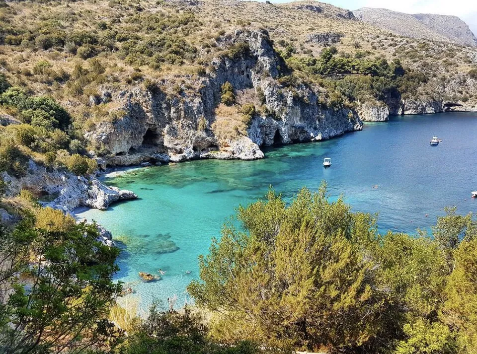
A path along the Cilento coast, through Mediterranean scrub, past watchtowers and coves, leads to a bay of turquoise water reachable only on foot or from the sea.
- Difficulty
- E Hiking
- Length
- 4.9 km
- Elevation gain
- +270 m / −260 m
- Time
- 2 hours (one way)
- Route
- Point to point
- Altitude
- 0–131 m
- Season
- Spring Autumn Winter
Download the GPXDirections to the start ↗
Saved. You'll find everything in My trip, where you can split it into days and see it on the map.
Saved on this device: you can open it even without a connection. All your saved pages are in Offline guides.
The topographic map loads OpenTopoMap tiles (an external server) only when you open it.
The story
The name comes from the freshwater springs that rise beneath the sea and cool the water of the bay. Traces of prehistoric people have been found in the caves along the coast between Marina di Camerota and the Infreschi. The sea is protected by the Costa degli Infreschi e della Masseta marine reserve.
Why go
Because it is one of the most beautiful bays in Italy, wild and roadless.
Practical information
- Start
- Lentiscelle beach (Marina di Camerota)
- Finish
- Baia degli Infreschi; back on foot or by boat in summer
- Best time
- September–June; in summer early in the morning
- Parking
- Car parks in Marina di Camerota.
- By public transport
- Train to Pisciotta-Palinuro, then bus to Marina di Camerota; in summer, boats from Marina di Camerota to the bay.
- Water
- None along the trail: carry at least a litre and a half.
- Shade
- Little: scrub and olive groves.
- Huts and refreshments
- None.
- With children
- Yes, with children used to walking.
Weather at the start
The forecast for the next 7 days at this spot: sky, temperatures, rain and wind.
Forecast by Open-Meteo (CC BY 4.0), from the models of national weather services. Your browser downloads it directly from Open-Meteo, and only when you ask. In the mountains and at sea the weather changes quickly: check the official forecast as well before you set off.
What to see on the route and nearby
After the hike, into the water
More hikes in Campania
- 1Path of the Gods, from Bomerano to NocelleE 5 km · +500 m · 3 hours · point to point
- 2Valle delle Ferriere from AmalfiE 3.5 km · +390 m · 3–3.5 hours · point to point
- 3Baia di Ieranto from NeranoE 5.5 km · +410 m · 2.5 hours · out and back
- 5The Gran Cono of Vesuvius (trail 5)T 4.2 km · +230 m · 2 hours round trip · out and back
Routes © OpenStreetMap contributors (ODbL), via Waymarked Trails and BRouter; elevations from a digital terrain model. Times and elevation gains are indicative: waymarks on the ground and closure orders always take precedence.