Hiking in Campania: trails on the Amalfi Coast, the Sorrento peninsula and the Cilento
In Campania the most beautiful trails drop sheer to the sea: the mule tracks that linked the coastal villages before the road was built, and bays on the Sorrento peninsula and in the Cilento reachable only on foot or by boat. Here you will find our selected routes, with track, elevation profile, GPX and practical information.
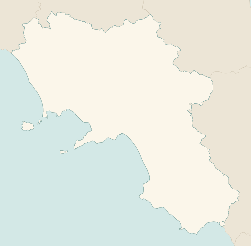
The numbers mark where each trail starts.
- 1Path of the Gods, from Bomerano to NocelleE 5 km · +500 m · 3 hours · point to point
- 2Valle delle Ferriere from AmalfiE 3.5 km · +390 m · 3–3.5 hours · point to point
- 3Baia di Ieranto from NeranoE 5.5 km · +410 m · 2.5 hours · out and back
- 4★ Baia degli Infreschi from Marina di CamerotaE 4.9 km · +270 m · 2 hours · point to point
- 5The Gran Cono of Vesuvius (trail 5)T 4.2 km · +230 m · 2 hours round trip · out and back
No trails match the filters: try widening them.
How to read the CAI scale
Each trail is graded on the scale of the Club Alpino Italiano (Italian Alpine Club), the same one you'll see on the signposts. Grades assume dry ground: rain, snow or strong heat make a route harder.
- T Tourist 1 in this guide
- Roads, mule tracks or wide, easy paths with no route-finding problems.
- E Hiking 4 in this guide
- Waymarked trails over varied terrain: you need hiking boots and a basic level of fitness.
- EE Expert hikers
- Exposed, steep or rocky sections, sometimes with chains: you need a sure foot and a head for heights.
- EEA Expert hikers with equipment
- Via ferratas or equipped routes: you need a harness, via ferrata set and helmet.
Before you set off
Steps, lots of steps
On the Amalfi Coast the trails are often stairways: thousands of steps going down test your knees more than the climb.
Heat and crowds
From June to August the south-facing trails are scorching: set off at dawn. The Path of the Gods is very crowded at weekends in spring.
Buses and ferries
On the Amalfi Coast it is best to get around by SITA bus and ferry: parking is scarce and expensive. Many trails end far from where they start.
Emergencies
Single emergency number: 112.
Water sports in Campania →← Guide to Campania
Routes © OpenStreetMap contributors (ODbL), via Waymarked Trails and BRouter; elevations from a digital terrain model. Times and elevation gains are indicative: waymarks on the ground and closure orders always take precedence.