Hiking in Friuli Venezia Giulia: trails in the Karst and the Julian and Carnic Alps
In a few hours' drive Friuli Venezia Giulia goes from the sea to the Julian Alps: paths on cliffs high above the Gulf of Trieste, Karst canyons, green lakes beneath two-thousand-metre walls and a sanctuary where three languages meet. Here you will find our selected routes, with track, elevation profile, GPX and practical information.
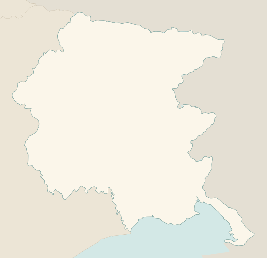
The numbers mark where each trail starts.
- 1Rilke Trail, from Duino to SistianaT 1.9 km · +60 m · 45 minutes–1 hour · point to point
- 2Strada Napoleonica, from Opicina to ProseccoT 3.3 km · +50 m · 1–1.5 hours · point to point
- 3Val Rosandra loopE 8.6 km · +330 m · 3–3.5 hours · loop
- 4Fusine Lakes and Rifugio ZacchiE 8.2 km · +410 m · 2.5–3 hours · out and back
- 5Monte Lussari by the Pilgrim's PathE 4.5 km · +850 m · 3–3.5 hours up · point to point
- 6Rifugio Pellarini from the Saisera valleyE 11.1 km · +600 m · 4 hours round trip · out and back
- 7Rifugio Gilberti from Sella NeveaEE 7.4 km · +710 m · 4–4.5 hours round trip · out and back
- 8Lago di Volaia from the Rifugio TolazziE 4.5 km · +560 m · 3 hours round trip · out and back
- 9Lago di Bordaglia from PierabechE 10 km · +760 m · 4–4.5 hours round trip · out and back
- 10Monte Matajur from the Rifugio PelizzoE 2.7 km · +290 m · 1.5–2 hours round trip · out and back
- 11Lago del Predil circuitT 4.8 km · +150 m · 1.5–2 hours · loop
No trails match the filters: try widening them.
How to read the CAI scale
Each trail is graded on the scale of the Club Alpino Italiano (Italian Alpine Club), the same one you'll see on the signposts. Grades assume dry ground: rain, snow or strong heat make a route harder.
- T Tourist 3 in this guide
- Roads, mule tracks or wide, easy paths with no route-finding problems.
- E Hiking 7 in this guide
- Waymarked trails over varied terrain: you need hiking boots and a basic level of fitness.
- EE Expert hikers 1 in this guide
- Exposed, steep or rocky sections, sometimes with chains: you need a sure foot and a head for heights.
- EEA Expert hikers with equipment
- Via ferratas or equipped routes: you need a harness, via ferrata set and helmet.
Before you set off
The bora
On the Karst and the Trieste coast the bora can gust at over 100 km/h: on days of strong bora, avoid cliff-top paths and exposed ridges.
Heat on the Karst
In summer the Karst is hot and dry, with little water along the trails: walk early in the morning or in autumn, when the smoke bush turns red.
Open borders
Many trails in the Julian Alps and the Karst cross into Slovenia or Austria: carry an identity document.
Osmize
On the Karst, leafy branches hung at crossroads point to open osmize, farms where you eat and drink what they produce: the best way to end a walk.
Emergencies
Single emergency number: 112.
Water sports in Friuli Venezia Giulia →← Guide to Friuli Venezia Giulia
Routes © OpenStreetMap contributors (ODbL), via Waymarked Trails and BRouter; elevations from a digital terrain model. Times and elevation gains are indicative: waymarks on the ground and closure orders always take precedence.