Monte Orlando, Gaeta
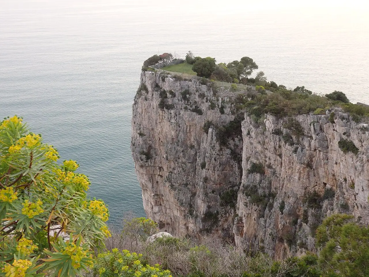
A trail in the Gaeta headland regional park climbs among pines, sea cliffs, Bourbon powder magazines and gun batteries to the Roman mausoleum on the summit.
- Difficulty
- T Tourist
- Length
- 2.9 km
- Elevation gain
- +240 m / −230 m
- Time
- 1.5–2 hours (one way)
- Route
- Point to point
- Altitude
- 0–156 m
- Season
- Spring Summer Autumn Winter
Download the GPXDirections to the start ↗
Saved. You'll find everything in My trip, where you can split it into days and see it on the map.
Saved on this device: you can open it even without a connection. All your saved pages are in Offline guides.
The topographic map loads OpenTopoMap tiles (an external server) only when you open it.
The story
At the top is the round tomb of Lucius Munatius Plancus, a Roman general, friend of Caesar and founder of the city of Lyon. Gaeta was the last fortress of the Bourbons: here, in the winter of 1860–61, Francis II held out for three months under siege before the end of the Kingdom of the Two Sicilies, and the powder magazines can still be seen on the headland. On the other side of the mountain is the Montagna Spaccata, a cleft in the rock that tradition says opened at the death of Christ.
Why go
Because in an hour you go from ancient Rome to the Bourbons, with the sea beneath the cliffs.
Practical information
- Start
- Gaeta, town centre
- Finish
- Mausoleum of Lucius Munatius Plancus, on the top of Monte Orlando
- Best time
- All year round
- Parking
- Car parks in Gaeta, near the seafront.
- By public transport
- Train to Formia, then bus to Gaeta.
- Water
- In Gaeta; nothing along the path.
- Shade
- Pine woods and scrub.
- Huts and refreshments
- None.
- With children
- Yes.
Weather at the start
The forecast for the next 7 days at this spot: sky, temperatures, rain and wind.
Forecast by Open-Meteo (CC BY 4.0), from the models of national weather services. Your browser downloads it directly from Open-Meteo, and only when you ask. In the mountains and at sea the weather changes quickly: check the official forecast as well before you set off.
What to see on the route and nearby
After the hike, into the water
More hikes in Lazio
- 1Picco di Circe, from Torre Paola to San FeliceEE 6.5 km · +510 m · 4–5 hours · point to point
- 2★ Monte Gelato Falls in the Treja ValleyE 6.4 km · +80 m · 2–2.5 hours · out and back
Routes © OpenStreetMap contributors (ODbL), via Waymarked Trails and BRouter; elevations from a digital terrain model. Times and elevation gains are indicative: waymarks on the ground and closure orders always take precedence.