Hiking in Lazio: trails on Circe's promontory, waterfalls and Gaeta
Outside Rome, Lazio has mountains by the sea, tufa gorges with hidden waterfalls and headlands steeped in history. Here you will find our selected routes, with track, elevation profile, GPX and practical information, all reachable as day trips from the capital.
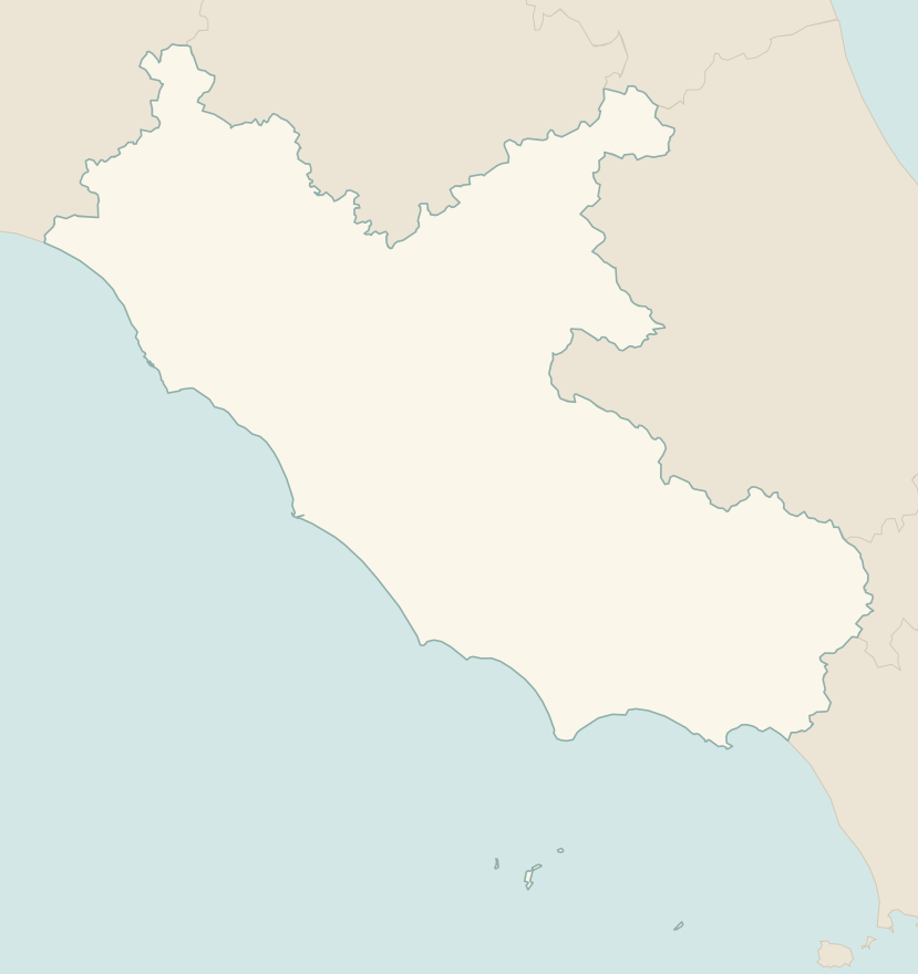
The numbers mark where each trail starts.
How to read the CAI scale
Each trail is graded on the scale of the Club Alpino Italiano (Italian Alpine Club), the same one you'll see on the signposts. Grades assume dry ground: rain, snow or strong heat make a route harder.
- T Tourist 1 in this guide
- Roads, mule tracks or wide, easy paths with no route-finding problems.
- E Hiking 1 in this guide
- Waymarked trails over varied terrain: you need hiking boots and a basic level of fitness.
- EE Expert hikers 1 in this guide
- Exposed, steep or rocky sections, sometimes with chains: you need a sure foot and a head for heights.
- EEA Expert hikers with equipment
- Via ferratas or equipped routes: you need a harness, via ferrata set and helmet.
Before you set off
Heat and wildfires
In summer the coastal headlands get very hot and the fire risk is high: walk early in the morning and carry plenty of water. On some days the parks may close the trails.
Slippery tufa
In the tufa gorges of Tuscia and the Treja valley the paths become slippery after rain.
Regional trains
Many routes can be reached from Rome by regional train: Gaeta via Formia, the Circeo via Latina and then by bus.
Emergencies
Single emergency number: 112.
Water sports in Lazio →← Guide to Lazio
Routes © OpenStreetMap contributors (ODbL), via Waymarked Trails and BRouter; elevations from a digital terrain model. Times and elevation gains are indicative: waymarks on the ground and closure orders always take precedence.