Monte Capanne from Marciana
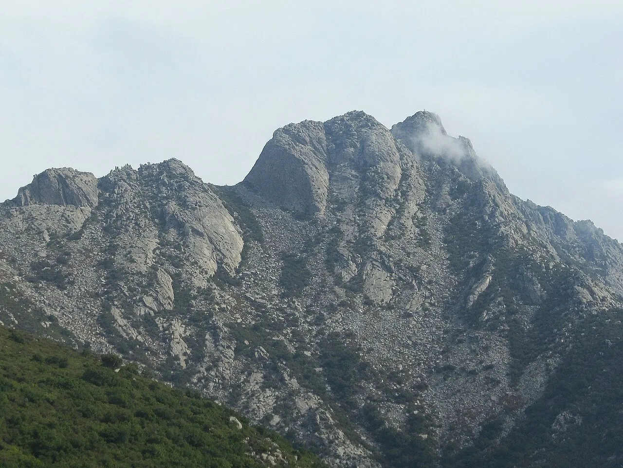
From the medieval village of Marciana the path climbs through chestnut trees and granite boulders to the highest peak of the Tuscan Archipelago, with views of Corsica, Capraia and all of Elba.
- Difficulty
- E Hiking
- Length
- 3.4 km
- Elevation gain
- +590 m / −40 m
- Time
- 2.5–3 hours up
- Route
- Point to point
- Altitude
- 325–895 m
- Season
- Spring Autumn Winter
Download the GPXDirections to the start ↗
Saved. You'll find everything in My trip, where you can split it into days and see it on the map.
Saved on this device: you can open it even without a connection. All your saved pages are in Offline guides.
The topographic map loads OpenTopoMap tiles (an external server) only when you open it.
The story
Monte Capanne is a huge granite dome that cooled underground millions of years ago: the Romans quarried the same granite for the columns of some buildings in Rome. From Marciana a path also leads to the hermitage of the Madonna del Monte, where Napoleon, exiled on the island, spent a few weeks in 1814.
Why go
Because in a single morning you go from the sea to a thousand metres and see the Archipelago as if on a map.
Practical information
- Start
- Marciana (Elba)
- Finish
- Monte Capanne (1,019 m), down on foot or by cable car
- Best time
- September–June
- Parking
- Car parks in Marciana and at the cable car station.
- By public transport
- Island bus from Portoferraio and Marciana Marina to Marciana.
- Water
- In Marciana and at the café by the cable car at the top.
- Shade
- Chestnut woods lower down, then granite in the sun.
- Huts and refreshments
- Café at the cable car's top station.
- With children
- With fit kids: steep climb over rock in the last stretch.
Weather at the start
The forecast for the next 7 days at this spot: sky, temperatures, rain and wind.
Forecast by Open-Meteo (CC BY 4.0), from the models of national weather services. Your browser downloads it directly from Open-Meteo, and only when you ask. In the mountains and at sea the weather changes quickly: check the official forecast as well before you set off.
What to see on the route and nearby
After the hike, into the water
More hikes in Tuscany
- 1★ Via Vandelli, from Resceto to Passo della TamburaEE 9.8 km · +1300 m · 6–7 hours · out and back
- 2Etruscan sunken roads, from Pitigliano to SovanaE 6.7 km · +170 m · 2.5–3 hours · point to point
- 3The Towers of the Maremma ParkT 7.1 km · +120 m · 2.5–3 hours · point to point
- 5Summit of Monte Amiata from Prato delle MacinaieE 6.6 km · +330 m · 2–2.5 hours round trip · out and back
- 6From the Monastery to the Sacro Eremo of CamaldoliE 4.2 km · +260 m · 2–2.5 hours round trip · out and back
- 7The arch of Monte Forato from FornovolascoEE 7.1 km · +640 m · 4.5–5 hours round trip · out and back
Routes © OpenStreetMap contributors (ODbL), via Waymarked Trails and BRouter; elevations from a digital terrain model. Times and elevation gains are indicative: waymarks on the ground and closure orders always take precedence.