Hiking in Tuscany: trails in the Apuan Alps, Etruscan sunken roads, the Maremma and Elba
Tuscany is famous for its hills, but its best trails are elsewhere: the ducal roads cut into the marble of the Apuan Alps, the Etruscan gorges carved into the tuff of the Maremma, the wild coast of the Uccellina hills and the summit of Elba with its view of Corsica. Here are the chosen routes, with track, elevation profile, GPX and practical information.
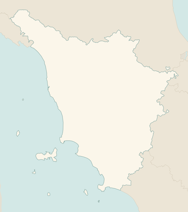
The numbers mark where each trail starts.
- 1★ Via Vandelli, from Resceto to Passo della TamburaEE 9.8 km · +1300 m · 6–7 hours · out and back
- 2Etruscan sunken roads, from Pitigliano to SovanaE 6.7 km · +170 m · 2.5–3 hours · point to point
- 3The Towers of the Maremma ParkT 7.1 km · +120 m · 2.5–3 hours · point to point
- 4Monte Capanne from MarcianaE 3.4 km · +590 m · 2.5–3 hours up · point to point
- 5Summit of Monte Amiata from Prato delle MacinaieE 6.6 km · +330 m · 2–2.5 hours round trip · out and back
- 6From the Monastery to the Sacro Eremo of CamaldoliE 4.2 km · +260 m · 2–2.5 hours round trip · out and back
- 7The arch of Monte Forato from FornovolascoEE 7.1 km · +640 m · 4.5–5 hours round trip · out and back
No trails match the filters: try widening them.
How to read the CAI scale
Each trail is graded on the scale of the Club Alpino Italiano (Italian Alpine Club), the same one you'll see on the signposts. Grades assume dry ground: rain, snow or strong heat make a route harder.
- T Tourist 1 in this guide
- Roads, mule tracks or wide, easy paths with no route-finding problems.
- E Hiking 4 in this guide
- Waymarked trails over varied terrain: you need hiking boots and a basic level of fitness.
- EE Expert hikers 2 in this guide
- Exposed, steep or rocky sections, sometimes with chains: you need a sure foot and a head for heights.
- EEA Expert hikers with equipment
- Via ferratas or equipped routes: you need a harness, via ferrata set and helmet.
Before you set off
Heat in the Maremma
In summer, walk in the Maremma and on Elba only at dawn: from June to August the heat and the fire risk make the trails hard going, and some areas of the Maremma park close on the days of highest risk.
Apuan Alps
The Apuan Alps are not high but they are steep, with many exposed sections: respect the CAI grade and don't underestimate the descent on marble, which is slippery when wet.
Working quarries
In the Apuan Alps many roads cross working marble quarries: follow the signs and stay out of the work areas.
Parks with an entry fee
The Maremma Park requires a ticket and, for some routes, access is only by the shuttle from Alberese or with a guide.
Emergencies
Single emergency number: 112.
Water sports in Tuscany →← Guide to Tuscany
Routes © OpenStreetMap contributors (ODbL), via Waymarked Trails and BRouter; elevations from a digital terrain model. Times and elevation gains are indicative: waymarks on the ground and closure orders always take precedence.