Hiking in Opole Province: St Anne's Mountain
The Opole region is almost flat, but it has two much-loved uplands: St Anne's Mountain, an ancient volcano with a sanctuary and a nature reserve, and the Opawskie Mountains on the Czech border. Here you'll find the route with its track, elevation profile, GPX and practical information; the Opawskie Mountains will follow.
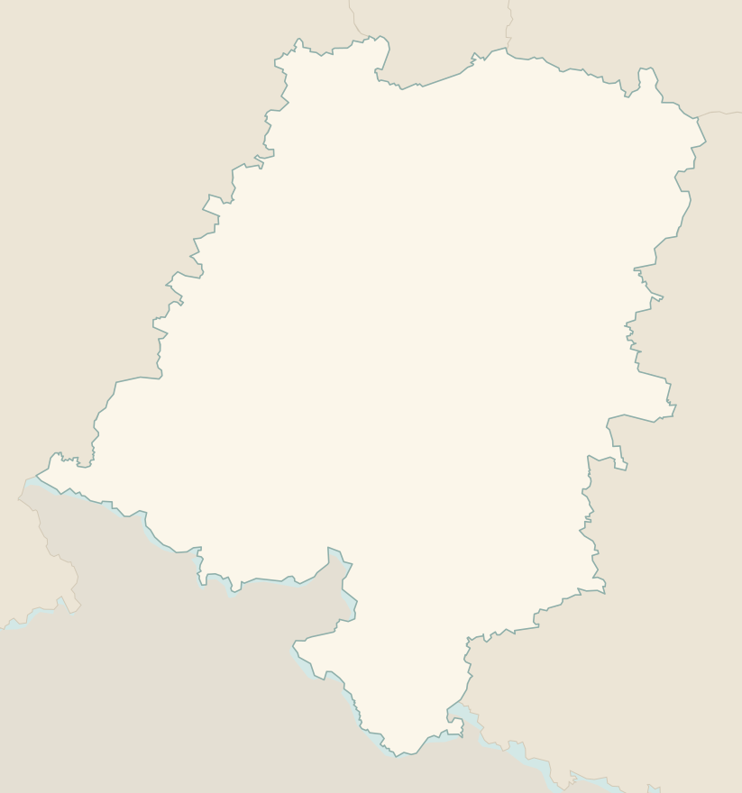
The numbers mark where each trail starts.
- 1From Żyrowa to St Anne's Mountain through the Lesisko reserveT 4.5 km · +180 m · 1.5–2 hours · loop
No trails match the filters: try widening them.
How to read the grades
Trails in Poland have no official difficulty scale: the PTTK waymarks, a red, blue, green, yellow or black stripe between two white ones, identify the route, not its difficulty (red usually marks the main trail). To compare them with our Italian guides, we have estimated the difficulty of each trail on the scale of the Club Alpino Italiano (Italian Alpine Club). Grades assume dry ground: rain, snow or strong heat make a route harder.
- T Tourist 1 in this guide
- Roads, mule tracks or wide, easy paths with no route-finding problems.
- E Hiking
- Waymarked trails over varied terrain: you need hiking boots and a basic level of fitness.
- EE Expert hikers
- Exposed, steep or rocky sections, sometimes with chains: you need a sure foot and a head for heights.
- EEA Expert hikers with equipment
- Via ferratas or equipped routes: you need a harness, via ferrata set and helmet.
Before you set off
Sanctuary
On the great feast days of St Anne and during pilgrimages the hill is packed: choose a weekday.
Ticks
Ticks are common in the woods from April to October: wear long trousers and repellent.
Geopark
St Anne's Mountain is a geopark: along the trail, information boards explain the volcanic and limestone rocks.
Emergencies
Single emergency number: 112.
Water sports in Opole Province →← Guide to Opole Province
Routes © OpenStreetMap contributors (ODbL), via Waymarked Trails and BRouter; elevations from a digital terrain model. Times and elevation gains are indicative: waymarks on the ground and closure orders always take precedence.