- Travel
- Poland
- Subcarpathia
- Hiking
Hiking in Subcarpathia: Chryszczata and the Bieszczady
The Bieszczady are Poland's wildest mountains, with beech forests, high pastures and vanished villages. The trail network is excellent, but few routes yet have an official length we can compare against: for now we publish the climb to Chryszczata, in the lower and quieter Bieszczady, and we will add the połoniny. Here you will find the route with track, elevation profile, GPX and practical information.
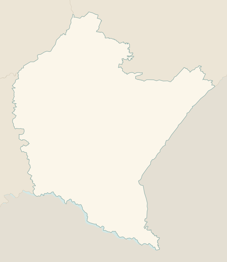
The numbers mark where each trail starts.
No trails match the filters: try widening them.
How to read the grades
Trails in Poland have no official difficulty scale: the PTTK waymarks, a red, blue, green, yellow or black stripe between two white ones, identify the route, not its difficulty (red usually marks the main trail). To compare them with our Italian guides, we have estimated the difficulty of each trail on the scale of the Club Alpino Italiano (Italian Alpine Club). Grades assume dry ground: rain, snow or strong heat make a route harder.
- T Tourist
- Roads, mule tracks or wide, easy paths with no route-finding problems.
- E Hiking 1 in this guide
- Waymarked trails over varied terrain: you need hiking boots and a basic level of fitness.
- EE Expert hikers
- Exposed, steep or rocky sections, sometimes with chains: you need a sure foot and a head for heights.
- EEA Expert hikers with equipment
- Via ferratas or equipped routes: you need a harness, via ferrata set and helmet.
Before you set off
Bears
More than a hundred bears live in the Bieszczady: stay on the trails, do not leave food about and make some noise in dense woods.
Phone
In many valleys there is no phone signal: download the GPX track before setting off and tell someone where you are going.
National park
Bieszczady National Park charges an entry fee; the trails on the połoniny are very busy on summer weekends.
Emergencies
GOPR mountain rescue: 985 or 601 100 300; single emergency number 112.
Water sports in Subcarpathia →← Guide to Subcarpathia
Routes © OpenStreetMap contributors (ODbL), via Waymarked Trails and BRouter; elevations from a digital terrain model. Times and elevation gains are indicative: waymarks on the ground and closure orders always take precedence.