Tarnica and the połoniny
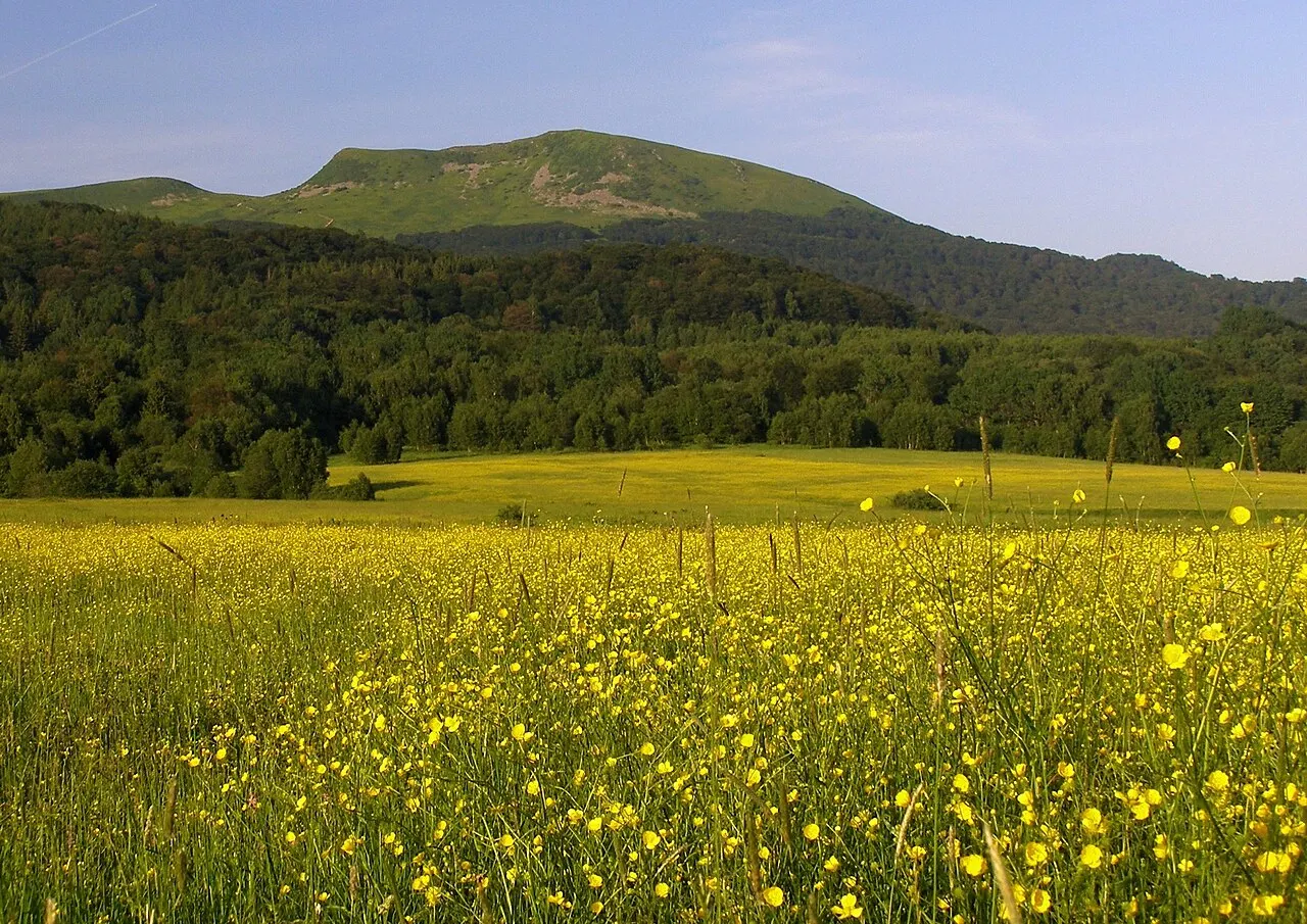
The highest peak in the Polish Bieszczady, 1,346 metres, with a large cross on the summit. The traverses of Połonina Wetlińska and Połonina Caryńska are the finest walks in the region.
In the itineraries
Get directions ↗OpenStreetMap ↗
Saved. You'll find everything in My trip, where you can split it into days and see it on the map.
Saved on this device: you can open it even without a connection. All your saved pages are in Offline guides.
Weather forecast
The forecast for the next 7 days at this spot: sky, temperatures, rain and wind.
Forecast by Open-Meteo (CC BY 4.0), from the models of national weather services. Your browser downloads it directly from Open-Meteo, and only when you ask. In the mountains and at sea the weather changes quickly: check the official forecast as well before you set off.
Getting there
- By train. The nearest station is Щербин station, 10.1 km away. Alternatively: ЗП. 172 км station, 10.4 km away. From the station you need a bus, a taxi or a car.
- By air. The nearest airport is Rzeszów Airport (RZE), about 126 km away.
Stations, ports, airports and car parks from OpenStreetMap (© OpenStreetMap contributors, ODbL); distances as the crow flies. Timetables and connections change: check them before you travel.
Climate month by month
The most pleasant months for weather are from July to August, with average highs between 18 and 29 °C. From October to April night-time temperatures drop below freezing on average. The wettest month is June (about 92 mm), the driest March.
| Month | Temperature | High / low | Rain mm |
|---|---|---|---|
| Jan | from -12 to -7 °C | -7° -12° | 64 |
| Feb | from -10 to -3 °C | -3° -10° | 58 |
| Mar | from -7 to 2 °C | 2° -7° | 52 |
| Apr | from -3 to 7 °C | 7° -3° | 60 |
| May | from 2 to 12 °C | 12° 2° | 88 |
| Jun | from 7 to 17 °C | 17° 7° | 92 |
| Jul | from 9 to 19 °C | 19° 9° | 85 |
| Aug | from 9 to 20 °C | 20° 9° | 65 |
| Sep | from 5 to 15 °C | 15° 5° | 80 |
| Oct | from -1 to 8 °C | 8° -1° | 68 |
| Nov | from -5 to 1 °C | 1° -5° | 64 |
| Dec | from -10 to -5 °C | -5° -10° | 71 |
Averages for 2015–2024, estimated for an altitude of 1315 m. Air: NASA POWER (MERRA-2 reanalysis), corrected for the altitude of the place; rain: average monthly total. These are indicative values: the weather on any given day can be very different, so always check the forecast before you go.
Nearby
- Bison of MuczneNature · 6 km as the crow flies
- Bieszczady National ParkNature · 7 km as the crow flies
- ★ The vanished villages of the BieszczadyHistory and art · 13 km as the crow flies
- ★ Bieszczady Forest RailwayHistory and art · 34 km as the crow flies
- Lake SolinaNature · 40 km as the crow flies
- Wooden churches of Turzańsk and SmolnikHistory and art · 54 km as the crow flies