Corno alle Scale and Lago Scaffaiolo loop
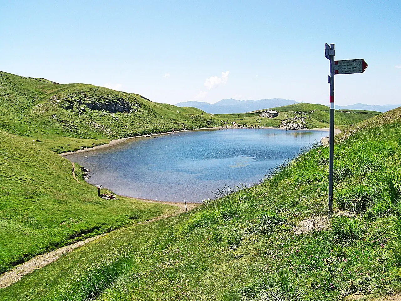
A loop in the Corno alle Scale Regional Park: from the Cavone beech forest you climb to Lago Scaffaiolo, on the ridge between Emilia and Tuscany, and then to the highest peak in the Bologna Apennines.
- Difficulty
- E Hiking
- Length
- 8.1 km
- Elevation gain
- +550 m / −550 m
- Time
- 3.5–4 hours
- Route
- Loop
- Altitude
- 1424–1923 m
- Season
- Summer Autumn
Download the GPXDirections to the start ↗
Saved. You'll find everything in My trip, where you can split it into days and see it on the map.
Saved on this device: you can open it even without a connection. All your saved pages are in Offline guides.
The topographic map loads OpenTopoMap tiles (an external server) only when you open it.
The story
Lago Scaffaiolo, of glacial origin, was feared in the Middle Ages: it was said that throwing a stone into it would unleash a storm. Boccaccio already wrote about it.
Why go
Because in half a day you walk along the Apennine ridge with views from the Po plain to the Apuan Alps.
Practical information
- Start
- Lago del Cavone, Lizzano in Belvedere, about 1425 m
- Finish
- Same point, after Lago Scaffaiolo and the summit of the Corno alle Scale (1945 m)
- Best time
- June–October
- Parking
- At the Cavone, in the ski area.
- By public transport
- Bus from Porretta Terme to Lizzano in Belvedere; then you need a car.
- Water
- At the Cavone and the Rifugio Duca degli Abruzzi, on Lago Scaffaiolo.
- Shade
- Beech forest at first, then an open ridge.
- Huts and refreshments
- Rifugio Duca degli Abruzzi at Lago Scaffaiolo.
- With children
- Yes, with fit children: about 600 metres of ascent.
Weather at the start
The forecast for the next 7 days at this spot: sky, temperatures, rain and wind.
Forecast by Open-Meteo (CC BY 4.0), from the models of national weather services. Your browser downloads it directly from Open-Meteo, and only when you ask. In the mountains and at sea the weather changes quickly: check the official forecast as well before you set off.
What to see on the route and nearby
More hikes in Emilia-Romagna
- 1Pietra di Bismantova loopE 3.6 km · +290 m · 2–2.5 hours · loop
- 2★ Acquacheta Falls from San Benedetto in AlpeE 8.8 km · +300 m · 4–4.5 hours · out and back
- 3★ Lago Santo Parmense from LagdeiE 3.6 km · +350 m · 1.5–2 hours · out and back
- 4Carnè loop in the Vena del GessoT 5.3 km · +240 m · 2 hours · loop
- 6Monte Cimone from Pian CavallaroE 2 km · +280 m · 1.5–2 hours round trip · out and back
- 7Dardagna Falls from Madonna dell'AceroT 3.5 km · +60 m · 1.5 hours round trip · out and back
- 8The San Luca portico, from Porta Saragozza to the sanctuaryT 7.3 km · +200 m · 2 hours round trip · out and back
- 9Monte Ventasso from Lago CalamoneE 4.9 km · +380 m · 3 hours round trip · out and back
Routes © OpenStreetMap contributors (ODbL), via Waymarked Trails and BRouter; elevations from a digital terrain model. Times and elevation gains are indicative: waymarks on the ground and closure orders always take precedence.