Hiking in Emilia-Romagna: trails of Dante, gypsum ridges and Apennine lakes
Emilia-Romagna is not all plain: the Tuscan-Emilian and Romagna Apennines have glacial lakes, solitary mountains, waterfalls and gypsum ridges unique in the world, and two of these places are mentioned by Dante in the Divine Comedy. Here you will find our selected routes, with track, elevation profile, GPX and practical information.
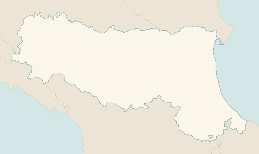
The numbers mark where each trail starts.
- 1Pietra di Bismantova loopE 3.6 km · +290 m · 2–2.5 hours · loop
- 2★ Acquacheta Falls from San Benedetto in AlpeE 8.8 km · +300 m · 4–4.5 hours · out and back
- 3★ Lago Santo Parmense from LagdeiE 3.6 km · +350 m · 1.5–2 hours · out and back
- 4Carnè loop in the Vena del GessoT 5.3 km · +240 m · 2 hours · loop
- 5Corno alle Scale and Lago Scaffaiolo loopE 8.1 km · +550 m · 3.5–4 hours · loop
- 6Monte Cimone from Pian CavallaroE 2 km · +280 m · 1.5–2 hours round trip · out and back
- 7Dardagna Falls from Madonna dell'AceroT 3.5 km · +60 m · 1.5 hours round trip · out and back
- 8The San Luca portico, from Porta Saragozza to the sanctuaryT 7.3 km · +200 m · 2 hours round trip · out and back
- 9Monte Ventasso from Lago CalamoneE 4.9 km · +380 m · 3 hours round trip · out and back
No trails match the filters: try widening them.
How to read the CAI scale
Each trail is graded on the scale of the Club Alpino Italiano (Italian Alpine Club), the same one you'll see on the signposts. Grades assume dry ground: rain, snow or strong heat make a route harder.
- T Tourist 3 in this guide
- Roads, mule tracks or wide, easy paths with no route-finding problems.
- E Hiking 6 in this guide
- Waymarked trails over varied terrain: you need hiking boots and a basic level of fitness.
- EE Expert hikers
- Exposed, steep or rocky sections, sometimes with chains: you need a sure foot and a head for heights.
- EEA Expert hikers with equipment
- Via ferratas or equipped routes: you need a harness, via ferrata set and helmet.
Before you set off
The Apennines in summer
In July and August the Apennines stay pleasant even when the plain is at 35 degrees: anything above 1000 metres is the escape route from the heat of Bologna and Parma.
Mud and clay
After rain many Apennine trails on clay become slippery: wear shoes with a deep tread.
Gypsum and caves
In the Vena del Gesso the caves can only be visited with park guides: do not enter the cavities alone, they are fragile and dangerous.
Mountain huts and tortelli
Apennine mountain huts are often mountain trattorias: tortelli, mushrooms and crescentine are part of the hike.
Emergencies
Single emergency number: 112.
Water sports in Emilia-Romagna →← Guide to Emilia-Romagna
Routes © OpenStreetMap contributors (ODbL), via Waymarked Trails and BRouter; elevations from a digital terrain model. Times and elevation gains are indicative: waymarks on the ground and closure orders always take precedence.