Hiking in Molise: Monte Miletto, roof of the Matese
Molise is one of the least-trodden regions in Italy, and its trails are almost deserted. The Matese, the limestone massif on the border with Campania, has the region's highest peak and a view that stretches from the Tyrrhenian to the Adriatic. Here you will find the route, with track, elevation profile, GPX and practical information. Molise's trail network is still poorly mapped: we will add more routes.
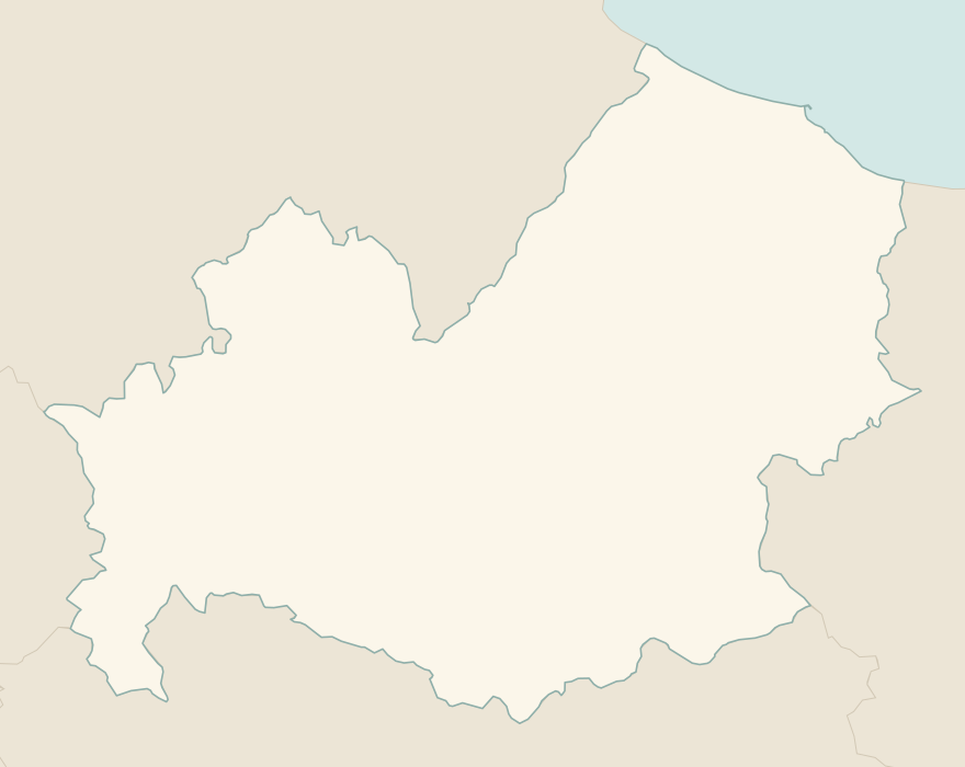
The numbers mark where each trail starts.
How to read the CAI scale
Each trail is graded on the scale of the Club Alpino Italiano (Italian Alpine Club), the same one you'll see on the signposts. Grades assume dry ground: rain, snow or strong heat make a route harder.
- T Tourist
- Roads, mule tracks or wide, easy paths with no route-finding problems.
- E Hiking 2 in this guide
- Waymarked trails over varied terrain: you need hiking boots and a basic level of fitness.
- EE Expert hikers
- Exposed, steep or rocky sections, sometimes with chains: you need a sure foot and a head for heights.
- EEA Expert hikers with equipment
- Via ferratas or equipped routes: you need a harness, via ferrata set and helmet.
Before you set off
Few facilities
There are few huts and fountains in the mountains of Molise: set off with water and food for the whole day.
Fog on the Matese
Fog rises quickly on the Matese and makes route-finding on the plateaus difficult: carry the GPX track on your phone.
Drove roads
Molise is crossed by the tratturi, the ancient transhumance routes on UNESCO's Intangible Heritage list: many easy walks follow these grassy tracks dozens of metres wide.
Emergencies
Single emergency number: 112.
Water sports in Molise →← Guide to Molise
Routes © OpenStreetMap contributors (ODbL), via Waymarked Trails and BRouter; elevations from a digital terrain model. Times and elevation gains are indicative: waymarks on the ground and closure orders always take precedence.