Hiking in Piedmont: trails in the Alps, the Langhe and wild forests
Piedmont is ringed on three sides by the Alps, with the wine hills in the middle: you can climb below Monviso in the morning and walk among the Barolo vineyards the next day. Here are trails chosen for their history, from the first tunnel through the Alps to the Romans' gold mines, with track, elevation profile, GPX and practical information.
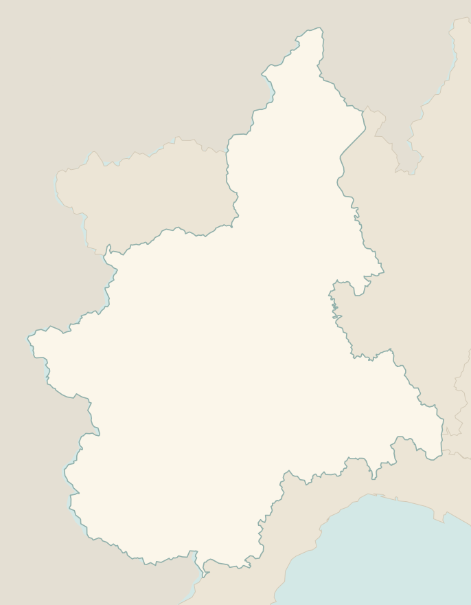
The numbers mark where each trail starts.
- 1Sacra di San Michele from Sant'AmbrogioE 5.7 km · +500 m · 3 hours · out and back
- 2★ Buco di Viso from Pian del ReE 9.1 km · +960 m · 5–6 hours · out and back
- 3★ Pian del Valasco from Terme di ValdieriE 8.6 km · +440 m · 3–3.5 hours · out and back
- 4The Barolo Crus TrailT 11.7 km · +330 m · 3.5–4 hours · loop
- 5★ Bessa Reserve, the Romans' gold minesE 4.5 km · +60 m · 1.5–2 hours · out and back
- 6★ Cicogna–Pogallo, in the heart of the Val GrandeE 7.8 km · +340 m · 3–3.5 hours · out and back
- 7On foot to the Sacred Mountain of VaralloT 2.4 km · +130 m · 1 hour round trip, plus the visit · out and back
- 8Lago del Mucrone from OropaE 10.3 km · +720 m · 4–4.5 hours round trip · out and back
- 9★ Alpe Otro, the Walser villages above AlagnaE 6.8 km · +420 m · 3 hours round trip · out and back
- 10Alpe Devero and Crampiolo, snowshoes tooT 6.1 km · +170 m · 1.5–2 hours round trip · out and back
No trails match the filters: try widening them.
How to read the CAI scale
Each trail is graded on the scale of the Club Alpino Italiano (Italian Alpine Club), the same one you'll see on the signposts. Grades assume dry ground: rain, snow or strong heat make a route harder.
- T Tourist 3 in this guide
- Roads, mule tracks or wide, easy paths with no route-finding problems.
- E Hiking 7 in this guide
- Waymarked trails over varied terrain: you need hiking boots and a basic level of fitness.
- EE Expert hikers
- Exposed, steep or rocky sections, sometimes with chains: you need a sure foot and a head for heights.
- EEA Expert hikers with equipment
- Via ferratas or equipped routes: you need a harness, via ferrata set and helmet.
Before you set off
Alps and hills, two different seasons
In the mountains the best period is June to September; on the hills of the Langhe and around Biella, walking is best in spring and autumn, as summer is too hot.
Roads closed in summer
Some high-valley roads, such as the one to Pian del Re, may be closed to private traffic on summer weekends, with a shuttle from the village: check before you set off.
Afternoon thunderstorms
In the Alps summer thunderstorms often arrive in the early afternoon: start early.
Among the vineyards
In the Langhe many paths cross private vineyards: stay on the track and don't touch the grapes, especially during the harvest (September–October).
Emergencies
Single emergency number: 112.
Water sports in Piedmont →← Guide to Piedmont
Routes © OpenStreetMap contributors (ODbL), via Waymarked Trails and BRouter; elevations from a digital terrain model. Times and elevation gains are indicative: waymarks on the ground and closure orders always take precedence.