- Travel
- Italy
- Basilicata
- Hiking
Hiking in Basilicata: trails between the Sassi of Matera and the Lucanian Dolomites
Basilicata is one of the wildest regions in Italy: ravines cut into the limestone, sandstone spires with villages clinging to them, mountains where the Bosnian pine grows. Here you will find our chosen routes, with track, elevation profile, GPX and practical information. Basilicata's trail network is still poorly mapped: we will add more routes.
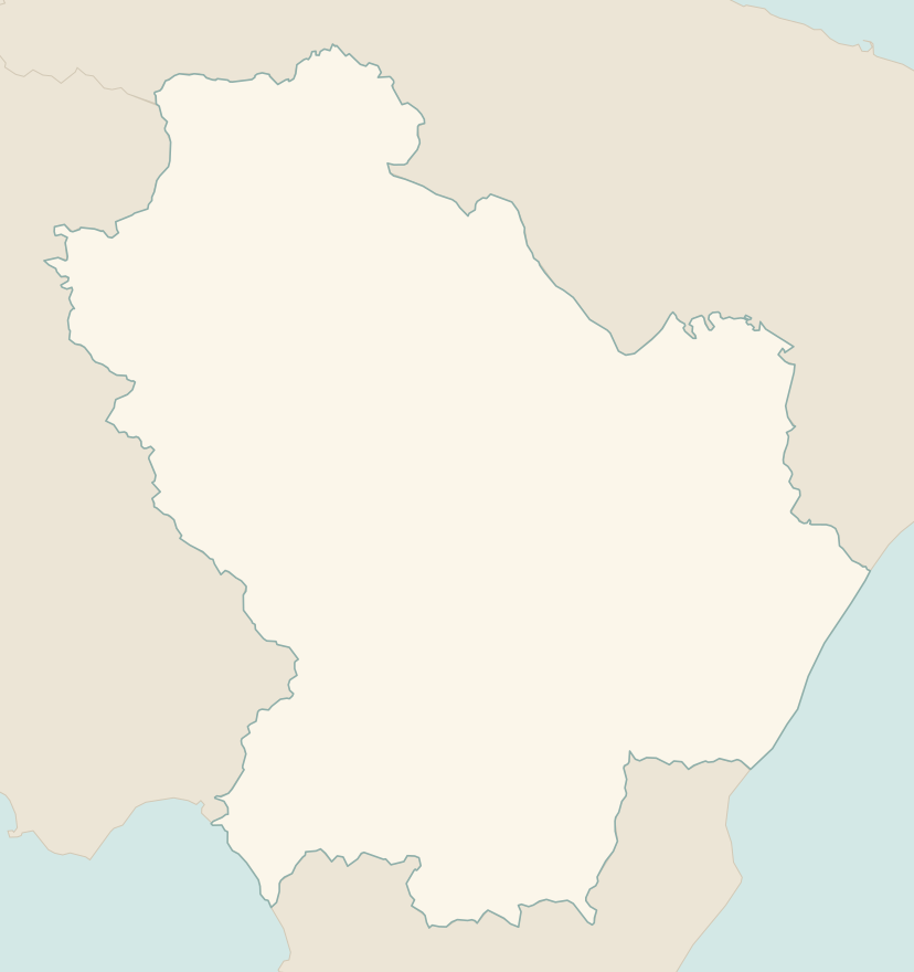
The numbers mark where each trail starts.
- 1From the Sassi of Matera to the Murgia, across the GravinaE 3.7 km · +190 m · 2–2.5 hours · point to point
- 2Path of the Seven Stones, from Castelmezzano to PietrapertosaT 2 km · +270 m · 1–1.5 hours · point to point
- 3★ Monte Pollino from Colle dell'ImpisoE 11 km · +880 m · 5–6 hours round trip · out and back
No trails match the filters: try widening them.
How to read the CAI scale
Each trail is graded on the scale of the Club Alpino Italiano (Italian Alpine Club), the same one you'll see on the signposts. Grades assume dry ground: rain, snow or strong heat make a route harder.
- T Tourist 1 in this guide
- Roads, mule tracks or wide, easy paths with no route-finding problems.
- E Hiking 2 in this guide
- Waymarked trails over varied terrain: you need hiking boots and a basic level of fitness.
- EE Expert hikers
- Exposed, steep or rocky sections, sometimes with chains: you need a sure foot and a head for heights.
- EEA Expert hikers with equipment
- Via ferratas or equipped routes: you need a harness, via ferrata set and helmet.
Before you set off
Heat on the Murgia
In summer the Murgia Materana is scorching and shadeless: walk at dawn or at sunset, when the light on the Sassi is at its most beautiful.
Slow roads
In Basilicata distances are short but the roads are winding: allow plenty of time between one trail and the next.
Pollino
The Pollino National Park, shared with Calabria, is the largest in Italy: the classic climb to the summit starts at Colle dell'Impiso, on the Basilicata side, through beech woods and Bosnian pines.
Emergencies
Single emergency number: 112.
Water sports in Basilicata →← Guide to Basilicata
Routes © OpenStreetMap contributors (ODbL), via Waymarked Trails and BRouter; elevations from a digital terrain model. Times and elevation gains are indicative: waymarks on the ground and closure orders always take precedence.