Hiking in Liguria: trails between the sea, the ridges and the Alps
In Liguria the sea and the mountains are only a few kilometres apart: in half a day you go from sea cliffs to ridges at a thousand metres. Here are trails chosen with the same approach as the guide: alongside the classics, little-walked routes with a story to tell. Each page has the track, the elevation profile, a downloadable GPX and practical information: where to park, how to get there by public transport, whether there is water along the way.
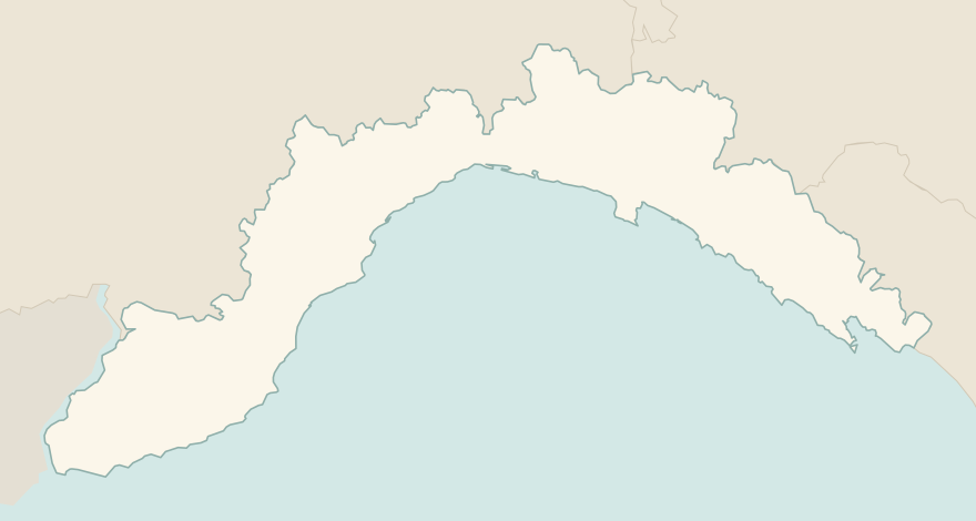
The numbers mark where each trail starts.
- 1The Sentiero Azzurro of the Cinque TerreE 10.5 km · +710 m · 5–6 hours · point to point
- 2★ Camogli–San Fruttuoso via the BatterieEE 10.5 km · +870 m · 5–6 hours · point to point
- 3★ Around Palmaria IslandE 5.9 km · +280 m · 3–4 hours · loop
- 4★ Sentiero del Pellegrino, Varigotti–NoliT 4.9 km · +430 m · 2–2.5 hours · point to point
- 5Punta Manara loopE 4.6 km · +290 m · 2 hours · loop
- 6★ Genoa's historic aqueductE 8.8 km · +620 m · 3–3.5 hours · loop
- 7★ Monte Antola from CaprileE 6.4 km · +590 m · 3 hours · out and back
- 8★ Lago delle Lame loopE 8.2 km · +470 m · 3 hours · loop
- 9★ The Napoleonic Trail in the BeiguaE 5.3 km · +290 m · 2 hours · loop
- 10★ Sentiero degli AlpiniEE 5.7 km · +770 m · 4–5 hours · point to point
- 11From Portofino to San Fruttuoso via Base 0E 4.7 km · +330 m · 2–2.5 hours · point to point
- 12Sant'Antonio del Mesco from MonterossoE 3.6 km · +280 m · 2–2.5 hours round trip · out and back
- 13Montenero Sanctuary from RiomaggioreE 5 km · +270 m · 2 hours round trip · out and back
- 14From Campiglia to Portovenere on the Alta ViaE 4.9 km · +60 m · 2–2.5 hours · point to point
- 15Seaside walk from Levanto to FramuraT 5.9 km · +30 m · 1.5 hours · point to point
- 16The Genoa Forts trail, from Righi to Forte DiamanteE 12.6 km · +470 m · 3.5–4 hours round trip · out and back
No trails match the filters: try widening them.
How to read the CAI scale
Each trail is graded on the scale of the Club Alpino Italiano (Italian Alpine Club), the same one you'll see on the signposts. Grades assume dry ground: rain, snow or strong heat make a route harder.
- T Tourist 2 in this guide
- Roads, mule tracks or wide, easy paths with no route-finding problems.
- E Hiking 12 in this guide
- Waymarked trails over varied terrain: you need hiking boots and a basic level of fitness.
- EE Expert hikers 2 in this guide
- Exposed, steep or rocky sections, sometimes with chains: you need a sure foot and a head for heights.
- EEA Expert hikers with equipment
- Via ferratas or equipped routes: you need a harness, via ferrata set and helmet.
Before you set off
Start early
In summer the coastal trails are exposed to the sun almost everywhere. Set off at dawn and carry at least a litre and a half of water each.
Proper shoes
Many Ligurian trails are stone mule tracks or stretches over rock: you need hiking shoes, not sandals or smooth-soled trainers.
Train and boat
Many routes are one-way: you set off on foot and return by the coastal train or by boat. Check the timetables before you leave, especially out of season.
After rain
Landslides are frequent and some sections close for months. Before setting off, check closures on the park's or the town's website.
Emergencies
Single emergency number 112. Download the GPX to your phone before you go: there may be no signal on the coastal trails.
Water sports in Liguria →← Guide to Liguria
Routes © OpenStreetMap contributors (ODbL), via Waymarked Trails and BRouter; elevations from a digital terrain model. Times and elevation gains are indicative: waymarks on the ground and closure orders always take precedence.