Hiking in Lombardy: trails among lakes, glaciers and roadless villages
Lombardy is not only plains and cities: it has the great lakes, the alpine valleys and the glaciers of the Stelvio. Here are trails chosen for their history, from the wayfarers' mule track on Lake Como to the village of Codera, which can only be reached on foot, with track, elevation profile, GPX and practical information.
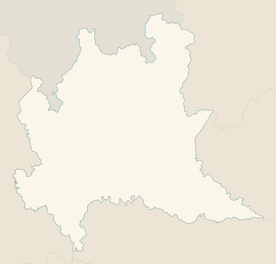
The numbers mark where each trail starts.
- 1Sentiero del Viandante, Lierna–VarennaE 7.4 km · +580 m · 3–3.5 hours · point to point
- 2★ Codera, the village you can only reach on footE 6.2 km · +570 m · 3–3.5 hours · out and back
- 3★ The Earth Pyramids of ZoneE 2.1 km · +170 m · 1–1.5 hours · loop
- 4★ Monte Isola, the climb to the Madonna della CeriolaE 5.5 km · +470 m · 2.5–3 hours · out and back
- 5★ The Forni glacier trailE 4.1 km · +460 m · 3 hours · point to point
- 6Lake Como Greenway, from Colonno to CadenabbiaT 11 km · +170 m · 3–3.5 hours · point to point
- 7The Via Sacra of the Sacred Mountain of VareseT 3.4 km · +200 m · 1.5–2 hours round trip · out and back
- 8Val di Mello to Cascina PianaT 6.8 km · +160 m · 2.5 hours round trip · out and back
- 9Rifugio Curò and Lago del Barbellino from ValbondioneE 9.8 km · +960 m · 5–5.5 hours round trip · out and back
- 10Laghi Gemelli from CaronaE 10.6 km · +860 m · 5 hours round trip · out and back
- 11Corni di Canzo: from Fonti di Gajum to Rifugio SEVE 10.3 km · +770 m · 4.5 hours round trip · out and back
- 12Lago Palù from San Giuseppe in ValmalencoE 7.9 km · +520 m · 3–3.5 hours round trip · out and back
No trails match the filters: try widening them.
How to read the CAI scale
Each trail is graded on the scale of the Club Alpino Italiano (Italian Alpine Club), the same one you'll see on the signposts. Grades assume dry ground: rain, snow or strong heat make a route harder.
- T Tourist 3 in this guide
- Roads, mule tracks or wide, easy paths with no route-finding problems.
- E Hiking 9 in this guide
- Waymarked trails over varied terrain: you need hiking boots and a basic level of fitness.
- EE Expert hikers
- Exposed, steep or rocky sections, sometimes with chains: you need a sure foot and a head for heights.
- EEA Expert hikers with equipment
- Via ferratas or equipped routes: you need a harness, via ferrata set and helmet.
Before you set off
Trains and boats
Many lakeside trails are one-way: you return by train (the Lecco–Colico line on the eastern shore of Lake Como) or by scheduled boat. Winter timetables are reduced.
Lakes in summer, mountains in autumn
By the lakes you can walk well almost all year, but July and August are hot and humid; at altitude the right period runs from late June to September.
Glaciers: from a distance only
Don't walk on glaciers without equipment and a guide: crevasses and seracs are dangerous even where they look calm.
Emergencies
Single emergency number: 112.
Water sports in Lombardy →← Guide to Lombardy
Routes © OpenStreetMap contributors (ODbL), via Waymarked Trails and BRouter; elevations from a digital terrain model. Times and elevation gains are indicative: waymarks on the ground and closure orders always take precedence.