Lake Como Greenway, from Colonno to Cadenabbia
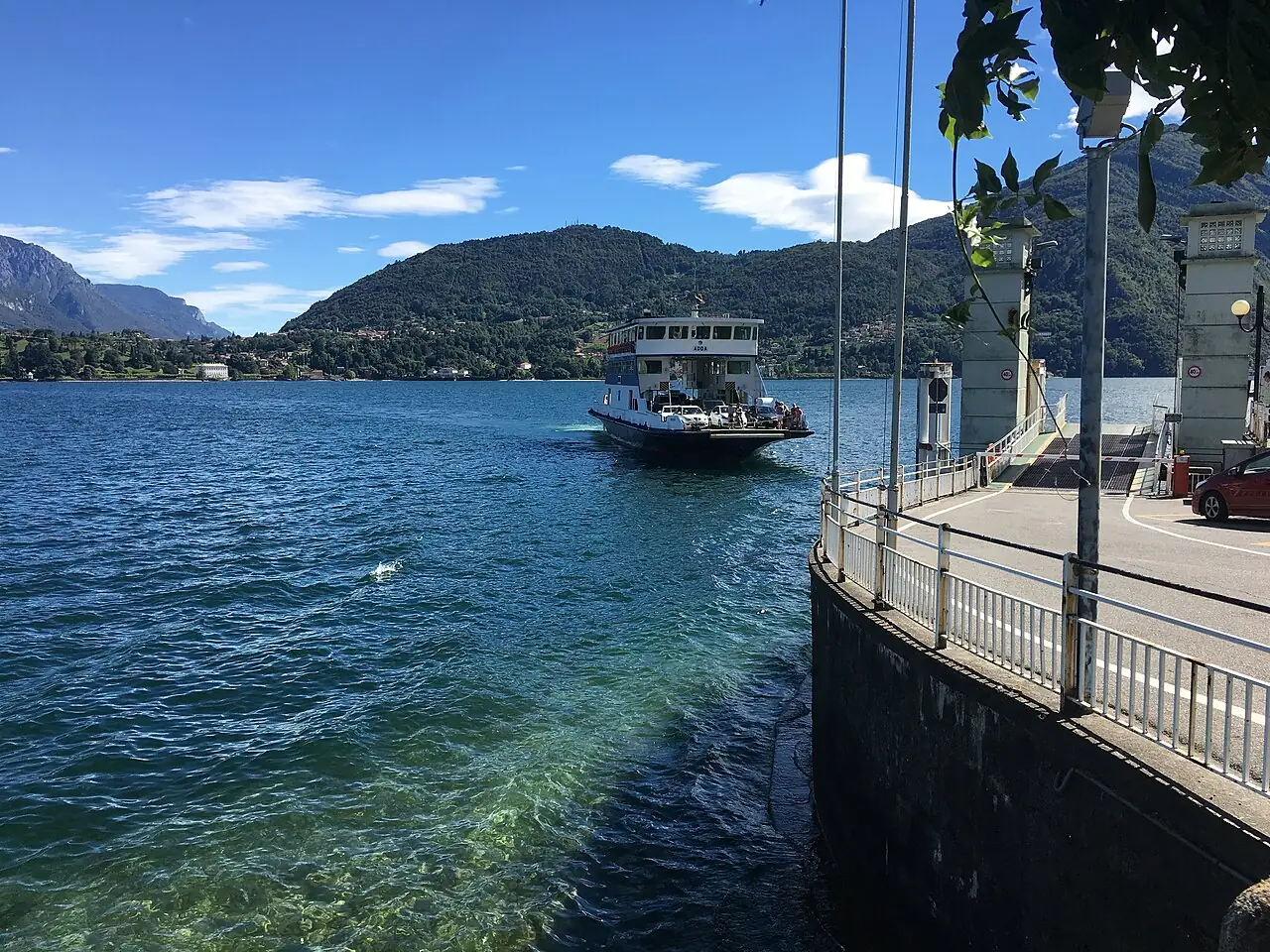
A waymarked route linking the villages of the Tremezzina along old mule tracks, alleys and lakefronts, passing Isola Comacina, the Balbianello peninsula and Villa Carlotta.
- Difficulty
- T Tourist
- Length
- 11 km
- Elevation gain
- +170 m / −180 m
- Time
- 3–3.5 hours (one way)
- Route
- Point to point
- Altitude
- 198–277 m
- Season
- Spring Summer Autumn Winter
Download the GPXDirections to the start ↗
Saved. You'll find everything in My trip, where you can split it into days and see it on the map.
Saved on this device: you can open it even without a connection. All your saved pages are in Offline guides.
The topographic map loads OpenTopoMap tiles (an external server) only when you open it.
The story
Isola Comacina, the lake's only island, was for centuries an important stronghold; in 1169 it was destroyed by the people of Como and left uninhabited, and ever since a legend has said it brings bad luck to anyone who builds there.
Why go
Because it is the slowest and most beautiful way to see Lake Como from its villas, with the option of returning by boat.
Practical information
- Start
- Colonno, on the western shore of the lake
- Finish
- Cadenabbia di Griante; return by boat or bus
- Best time
- All year round (best in spring and autumn)
- Parking
- Limited parking in the villages: better to arrive by bus or boat.
- By public transport
- Como–Menaggio bus along the whole shore and Navigazione Laghi boats.
- Water
- Fountains and cafés in every village.
- Shade
- Mixed, among alleys, olive trees and sunny stretches.
- Huts and refreshments
- Cafés and restaurants in the villages along the route.
- With children
- Yes: you can do just one section and return by boat.
Weather at the start
The forecast for the next 7 days at this spot: sky, temperatures, rain and wind.
Forecast by Open-Meteo (CC BY 4.0), from the models of national weather services. Your browser downloads it directly from Open-Meteo, and only when you ask. In the mountains and at sea the weather changes quickly: check the official forecast as well before you set off.
What to see on the route and nearby
- Villa del BalbianelloOn the route
- ★ Isola ComacinaOn the route
- BellagioOn the route
- Varenna12 km from the start
More hikes in Lombardy
- 1Sentiero del Viandante, Lierna–VarennaE 7.4 km · +580 m · 3–3.5 hours · point to point
- 2★ Codera, the village you can only reach on footE 6.2 km · +570 m · 3–3.5 hours · out and back
- 3★ The Earth Pyramids of ZoneE 2.1 km · +170 m · 1–1.5 hours · loop
- 4★ Monte Isola, the climb to the Madonna della CeriolaE 5.5 km · +470 m · 2.5–3 hours · out and back
- 5★ The Forni glacier trailE 4.1 km · +460 m · 3 hours · point to point
- 7The Via Sacra of the Sacred Mountain of VareseT 3.4 km · +200 m · 1.5–2 hours round trip · out and back
- 8Val di Mello to Cascina PianaT 6.8 km · +160 m · 2.5 hours round trip · out and back
- 9Rifugio Curò and Lago del Barbellino from ValbondioneE 9.8 km · +960 m · 5–5.5 hours round trip · out and back
- 10Laghi Gemelli from CaronaE 10.6 km · +860 m · 5 hours round trip · out and back
- 11Corni di Canzo: from Fonti di Gajum to Rifugio SEVE 10.3 km · +770 m · 4.5 hours round trip · out and back
- 12Lago Palù from San Giuseppe in ValmalencoE 7.9 km · +520 m · 3–3.5 hours round trip · out and back
Routes © OpenStreetMap contributors (ODbL), via Waymarked Trails and BRouter; elevations from a digital terrain model. Times and elevation gains are indicative: waymarks on the ground and closure orders always take precedence.