Hiking in Puglia: the pilgrims' Scala Santa on the Gargano
In Puglia you walk mostly along pilgrim routes and drove roads, but the Gargano has trails as steep and old as any in the mountains. Here you will find the oldest of them: the stairway pilgrims climbed from the sea to the cave of the Archangel Michael, with track, elevation profile, GPX and practical information. Puglia's trail network is still poorly mapped: we will add more routes.
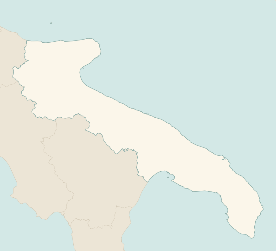
The numbers mark where each trail starts.
- 1Scala Santa, from Macchia to Monte Sant'AngeloE 3.3 km · +510 m · 1.5–2 hours uphill · point to point
- 2From Otranto to the Punta Palascìa lighthouseT 6.3 km · +80 m · 1.5–2 hours · point to point
- 3★ The Cipolliane Trail, from Novaglie to the CioloT 5.1 km · +70 m · 2 hours round trip, including the caves · out and back
No trails match the filters: try widening them.
How to read the CAI scale
Each trail is graded on the scale of the Club Alpino Italiano (Italian Alpine Club), the same one you'll see on the signposts. Grades assume dry ground: rain, snow or strong heat make a route harder.
- T Tourist 2 in this guide
- Roads, mule tracks or wide, easy paths with no route-finding problems.
- E Hiking 1 in this guide
- Waymarked trails over varied terrain: you need hiking boots and a basic level of fitness.
- EE Expert hikers
- Exposed, steep or rocky sections, sometimes with chains: you need a sure foot and a head for heights.
- EEA Expert hikers with equipment
- Via ferratas or equipped routes: you need a harness, via ferrata set and helmet.
Before you set off
Heat
From June to September in Puglia you only walk at dawn or at sunset: the sun is strong and shade is rare.
Pilgrim routes
Puglia is crossed by the southern Via Francigena and other multi-stage routes, waymarked and with pilgrim accommodation: perfect in spring and autumn.
Coastal paths
In the Salento and on the Gargano many paths lead down to coves on the sea: they are beautiful but often on sharp rock and without railings.
Emergencies
Single emergency number: 112.
Water sports in Puglia →← Guide to Puglia
Routes © OpenStreetMap contributors (ODbL), via Waymarked Trails and BRouter; elevations from a digital terrain model. Times and elevation gains are indicative: waymarks on the ground and closure orders always take precedence.