From Sortino to the necropolis of Pantalica
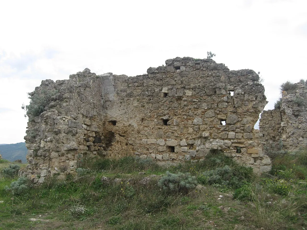
A trail descends from the plateau towards the gorges of the Anapo and Calcinara, where the limestone walls are riddled with thousands of rock-cut tombs, like a honeycomb.
- Difficulty
- E Hiking
- Length
- 3.9 km
- Elevation gain
- +130 m / −190 m
- Time
- 1.5–2 hours (one way)
- Route
- Point to point
- Altitude
- 256–386 m
- Season
- Spring Autumn Winter
Download the GPXDirections to the start ↗
Saved. You'll find everything in My trip, where you can split it into days and see it on the map.
Saved on this device: you can open it even without a connection. All your saved pages are in Offline guides.
The topographic map loads OpenTopoMap tiles (an external server) only when you open it.
The story
Pantalica is the largest rock-cut necropolis in the Mediterranean: about five thousand tombs dug between the 13th and 7th centuries BC by the inhabitants of a prehistoric city, before the Greeks arrived. On top of the plateau lie the foundations of the Anaktoron, the prince's palace. Pantalica is a UNESCO site together with Syracuse.
Why go
Because it is one of the oldest and quietest places in Sicily, with tombs looking out over a green canyon.
Practical information
- Start
- Sortino
- Finish
- Necropolis of Pantalica (forestry rest area)
- Best time
- October–May
- Parking
- Car parks in Sortino and in the Pantalica forestry area.
- By public transport
- You need a car.
- Water
- In Sortino; nothing along the trail.
- Shade
- Little.
- Huts and refreshments
- None.
- With children
- Yes, with children used to walking.
Weather at the start
The forecast for the next 7 days at this spot: sky, temperatures, rain and wind.
Forecast by Open-Meteo (CC BY 4.0), from the models of national weather services. Your browser downloads it directly from Open-Meteo, and only when you ask. In the mountains and at sea the weather changes quickly: check the official forecast as well before you set off.
What to see on the route and nearby
More hikes in Sicily
- 1Gran Cratere of VulcanoE 4.7 km · +260 m · 2–2.5 hours · out and back
- 3★ The coastal loop of Monte CofanoE 7.8 km · +250 m · 2.5–3 hours · loop
- 4The Rocca of Cefalù and the Temple of DianaT 1.8 km · +170 m · 1.5–2 hours round trip, including the visit · out and back
Routes © OpenStreetMap contributors (ODbL), via Waymarked Trails and BRouter; elevations from a digital terrain model. Times and elevation gains are indicative: waymarks on the ground and closure orders always take precedence.