Hiking in Sicily: the crater of Vulcano and the necropolis of Pantalica
In Sicily you walk among active volcanoes, limestone canyons and coastal reserves. Here you will find our chosen routes, with track, elevation profile, GPX and practical information: the climb to the steaming crater of Vulcano, in the Aeolian Islands, and the descent into the valley of the prehistoric tombs of Pantalica. Sicily's trail network is still poorly mapped: we will add more routes.
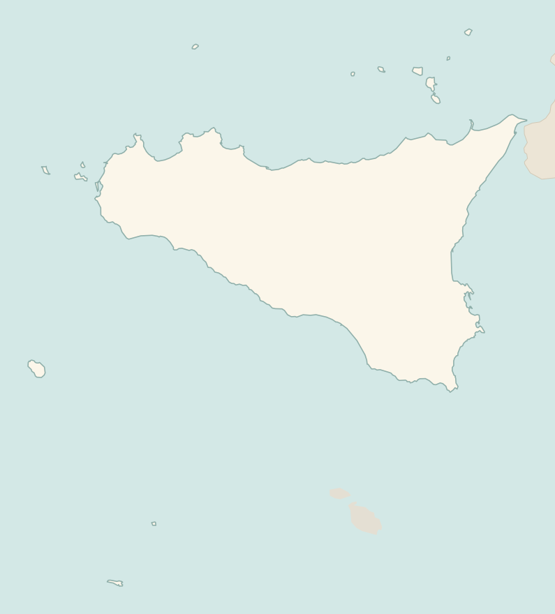
The numbers mark where each trail starts.
- 1Gran Cratere of VulcanoE 4.7 km · +260 m · 2–2.5 hours · out and back
- 2From Sortino to the necropolis of PantalicaE 3.9 km · +130 m · 1.5–2 hours · point to point
- 3★ The coastal loop of Monte CofanoE 7.8 km · +250 m · 2.5–3 hours · loop
- 4The Rocca of Cefalù and the Temple of DianaT 1.8 km · +170 m · 1.5–2 hours round trip, including the visit · out and back
No trails match the filters: try widening them.
How to read the CAI scale
Each trail is graded on the scale of the Club Alpino Italiano (Italian Alpine Club), the same one you'll see on the signposts. Grades assume dry ground: rain, snow or strong heat make a route harder.
- T Tourist 1 in this guide
- Roads, mule tracks or wide, easy paths with no route-finding problems.
- E Hiking 3 in this guide
- Waymarked trails over varied terrain: you need hiking boots and a basic level of fitness.
- EE Expert hikers
- Exposed, steep or rocky sections, sometimes with chains: you need a sure foot and a head for heights.
- EEA Expert hikers with equipment
- Via ferratas or equipped routes: you need a harness, via ferrata set and helmet.
Before you set off
Etna and Stromboli
The summit craters of Etna and the top of Stromboli can only be climbed with authorised volcano guides and when the bylaws allow it: volcanic activity changes from day to day.
Heat and wildfires
From June to September walk only at dawn: the heat is fierce, and in some reserves the trails close on days of high fire risk.
Paid reserves
Many reserves, such as the Zingaro and Cavagrande, have entrance fees and opening hours: check before you set off.
Emergencies
Single emergency number: 112.
Water sports in Sicily →← Guide to Sicily
Routes © OpenStreetMap contributors (ODbL), via Waymarked Trails and BRouter; elevations from a digital terrain model. Times and elevation gains are indicative: waymarks on the ground and closure orders always take precedence.