Above the Castelluccio plain
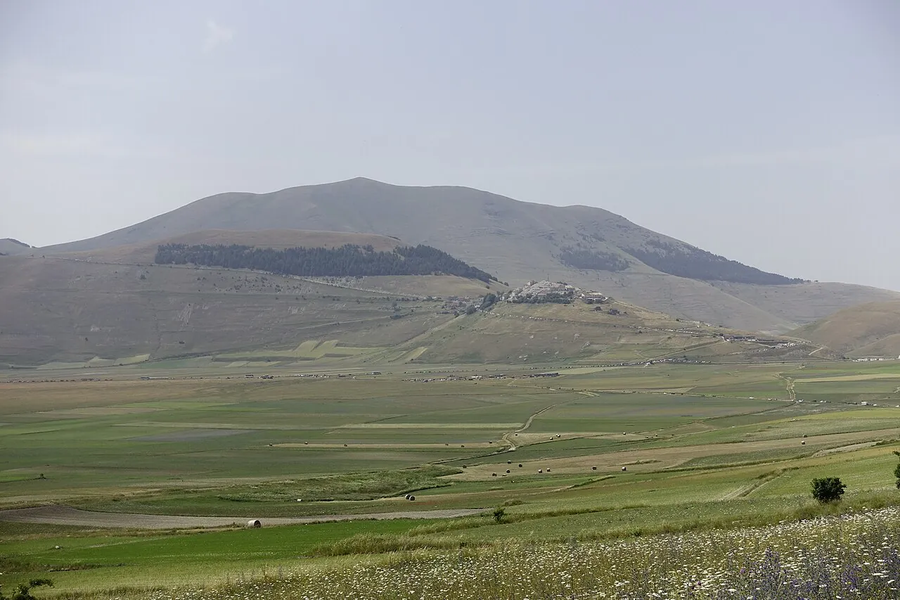
A trail across the meadows of the Monti Sibillini National Park, with views over the Piano Grande, the great karst plateau that turns red, yellow and blue in summer, and the bulk of Mount Vettore.
- Difficulty
- E Hiking
- Length
- 10.3 km
- Elevation gain
- +400 m / −400 m
- Time
- 3 hours
- Route
- Out and back
- Altitude
- 1322–1582 m
- Season
- Summer Autumn
Download the GPXDirections to the start ↗
Saved. You'll find everything in My trip, where you can split it into days and see it on the map.
Saved on this device: you can open it even without a connection. All your saved pages are in Offline guides.
The topographic map loads OpenTopoMap tiles (an external server) only when you open it.
The story
The Piano Grande is the bed of an ancient drained lake. The flowering is that of the lentils grown here for centuries, mixed with poppies, cornflowers and wild mustard. Castelluccio, at over 1,400 metres, was badly damaged by the 2016 earthquake and is coming back to life.
Why go
Because the flowering plain seen from above is one of the most beautiful landscapes in Italy, and the trail is easy.
Practical information
- Start
- Castelluccio di Norcia
- Finish
- Rifugio Capanna Ghezzi, return the same way
- Best time
- May–October (flowering from late May to July)
- Parking
- Car parks in Castelluccio, controlled on flowering days.
- By public transport
- You need a car.
- Water
- In Castelluccio; none along the trail.
- Shade
- None.
- Huts and refreshments
- Rifugio Capanna Ghezzi (opening times vary).
- With children
- Yes: a path over open meadows with no difficult sections.
Weather at the start
The forecast for the next 7 days at this spot: sky, temperatures, rain and wind.
Forecast by Open-Meteo (CC BY 4.0), from the models of national weather services. Your browser downloads it directly from Open-Meteo, and only when you ask. In the mountains and at sea the weather changes quickly: check the official forecast as well before you set off.
What to see on the route and nearby
More hikes in Umbria
- 1From Assisi to the Eremo delle CarceriE 6 km · +520 m · 3–3.5 hours · out and back
- 2★ The hermitages of Monteluco from SpoletoE 8.6 km · +700 m · 3 hours · point to point
- 3Mount Ingino loop from GubbioE 7.5 km · +490 m · 3 hours · loop
- 5Marmore Falls, the Antico Passaggio trailT 2.2 km · +150 m · 1–1.5 hours round trip · out and back
Routes © OpenStreetMap contributors (ODbL), via Waymarked Trails and BRouter; elevations from a digital terrain model. Times and elevation gains are indicative: waymarks on the ground and closure orders always take precedence.