Hiking in Umbria: trails among hermitages, sacred woods and the Castelluccio plain
Umbria is best discovered on foot: the paths of saints and hermits climb from the villages into holm-oak woods, an old railway crosses the mountains through tunnels and over viaducts, and in the Sibillini you walk above the flowering plain of Castelluccio. Here are the chosen routes, with route map, elevation profile, GPX and practical information.
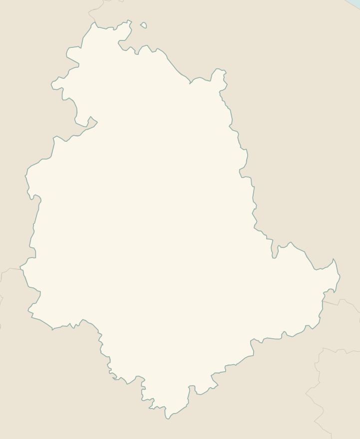
The numbers mark where each trail starts.
- 1From Assisi to the Eremo delle CarceriE 6 km · +520 m · 3–3.5 hours · out and back
- 2★ The hermitages of Monteluco from SpoletoE 8.6 km · +700 m · 3 hours · point to point
- 3Mount Ingino loop from GubbioE 7.5 km · +490 m · 3 hours · loop
- 4Above the Castelluccio plainE 10.3 km · +400 m · 3 hours · out and back
- 5Marmore Falls, the Antico Passaggio trailT 2.2 km · +150 m · 1–1.5 hours round trip · out and back
No trails match the filters: try widening them.
How to read the CAI scale
Each trail is graded on the scale of the Club Alpino Italiano (Italian Alpine Club), the same one you'll see on the signposts. Grades assume dry ground: rain, snow or strong heat make a route harder.
- T Tourist 1 in this guide
- Roads, mule tracks or wide, easy paths with no route-finding problems.
- E Hiking 4 in this guide
- Waymarked trails over varied terrain: you need hiking boots and a basic level of fitness.
- EE Expert hikers
- Exposed, steep or rocky sections, sometimes with chains: you need a sure foot and a head for heights.
- EEA Expert hikers with equipment
- Via ferratas or equipped routes: you need a harness, via ferrata set and helmet.
Before you set off
Sacred places
Hermitages and convents are still home to friars and nuns: keep quiet, dress appropriately and respect visiting hours.
2016 earthquake
Around Norcia and Castelluccio some trails and roads may still be closed or diverted after the earthquake: check before you set off.
The flowering
The Castelluccio plain usually flowers from late May to mid-July: on peak weekends it is very busy and traffic is controlled.
Cycling the old railway
The former Spoleto–Norcia railway, now a cycling and walking path with tunnels and viaducts, is perfect by mountain bike: you need lights for the tunnels.
Emergencies
Single emergency number: 112.
Water sports in Umbria →← Guide to Umbria
Routes © OpenStreetMap contributors (ODbL), via Waymarked Trails and BRouter; elevations from a digital terrain model. Times and elevation gains are indicative: waymarks on the ground and closure orders always take precedence.