Hiking in the Veneto: trails through the Dolomites, the Great War and the forests of the Serenissima
The Veneto stretches from the Dolomites to the lagoon, and its trails tell its history: Great War trenches, military roads carved into the rock, the forests that supplied oars for Venice's galleys. Here you will find our selected routes, with track, elevation profile, GPX and practical information.
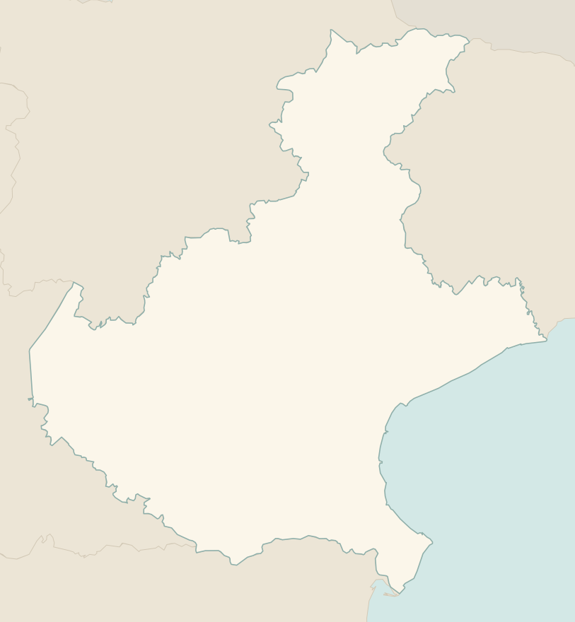
The numbers mark where each trail starts.
- 1Tre Cime di Lavaredo, from the Rifugio Auronzo to the LocatelliE 7.4 km · +440 m · 3–3.5 hours · out and back
- 2Lago di Sorapis from the Passo Tre CrociE 10.5 km · +730 m · 4–4.5 hours · out and back
- 3★ Road of the 52 Tunnels on the PasubioEE 10.6 km · +1210 m · 5–6 hours · point to point
- 4★ Cansiglio Forest loopT 17.2 km · +420 m · 4.5–5 hours · loop
- 5From the Passo Giau to the Rifugio Croda da Lago via MondevalE 14.5 km · +650 m · 5.5–6 hours round trip · out and back
- 6From the Passo Giau to the Rifugio NuvolauE 6.1 km · +410 m · 3.5 hours round trip · out and back
- 7★ Lago di Limides from the Passo FalzaregoT 3.1 km · +80 m · 1–1.5 hours round trip · out and back
- 8Lago di Misurina circuitT 3.2 km · +30 m · 45 minutes – 1 hour · loop
- 9★ Monte Piana, the open-air Great War museumE 10.6 km · +750 m · 4–4.5 hours round trip · out and back
- 10Lago and Rifugio Coldai below the CivettaE 10.2 km · +700 m · 4.5–5 hours round trip · out and back
- 11★ Rifugio Dal Piaz from the Passo Croce d'AuneE 9.2 km · +940 m · 4.5–5 hours round trip · out and back
- 12Monte Ortigara from Piazzale LozzeE 5.6 km · +310 m · 3 hours round trip · out and back
- 13★ Calà del Sasso, the longest stairway in ItalyE 6.6 km · +720 m · 4–4.5 hours round trip · out and back
- 14From Sant'Uberto to Malga Ra Stua, in winter tooT 5.8 km · +190 m · 2–2.5 hours round trip · out and back
- 15★ Lago di Alleghe circuitT 3 km · +20 m · 1 hour · loop
No trails match the filters: try widening them.
How to read the CAI scale
Each trail is graded on the scale of the Club Alpino Italiano (Italian Alpine Club), the same one you'll see on the signposts. Grades assume dry ground: rain, snow or strong heat make a route harder.
- T Tourist 5 in this guide
- Roads, mule tracks or wide, easy paths with no route-finding problems.
- E Hiking 9 in this guide
- Waymarked trails over varied terrain: you need hiking boots and a basic level of fitness.
- EE Expert hikers 1 in this guide
- Exposed, steep or rocky sections, sometimes with chains: you need a sure foot and a head for heights.
- EEA Expert hikers with equipment
- Via ferratas or equipped routes: you need a harness, via ferrata set and helmet.
Before you set off
Toll roads and shuttles
The road to the Rifugio Auronzo, below the Tre Cime, is a toll road; in summer there are buses from Cortina and Misurina. Arrive early: the car park fills up.
A torch for the tunnels
On the Road of the 52 Tunnels and many Great War trails you need a head torch and a light helmet: the tunnels are dark and low.
Altitude and storms
In the Dolomites, set off early and come down before the afternoon thunderstorms. Snow is possible until June above 2000 metres.
Wartime memory
Trenches, tunnels and war cemeteries are places of remembrance: do not take away any relics, it is forbidden.
Emergencies
Single emergency number: 112.
Water sports in Veneto →← Guide to Veneto
Routes © OpenStreetMap contributors (ODbL), via Waymarked Trails and BRouter; elevations from a digital terrain model. Times and elevation gains are indicative: waymarks on the ground and closure orders always take precedence.