Rutor Waterfalls and Rifugio Deffeyes from La Thuile
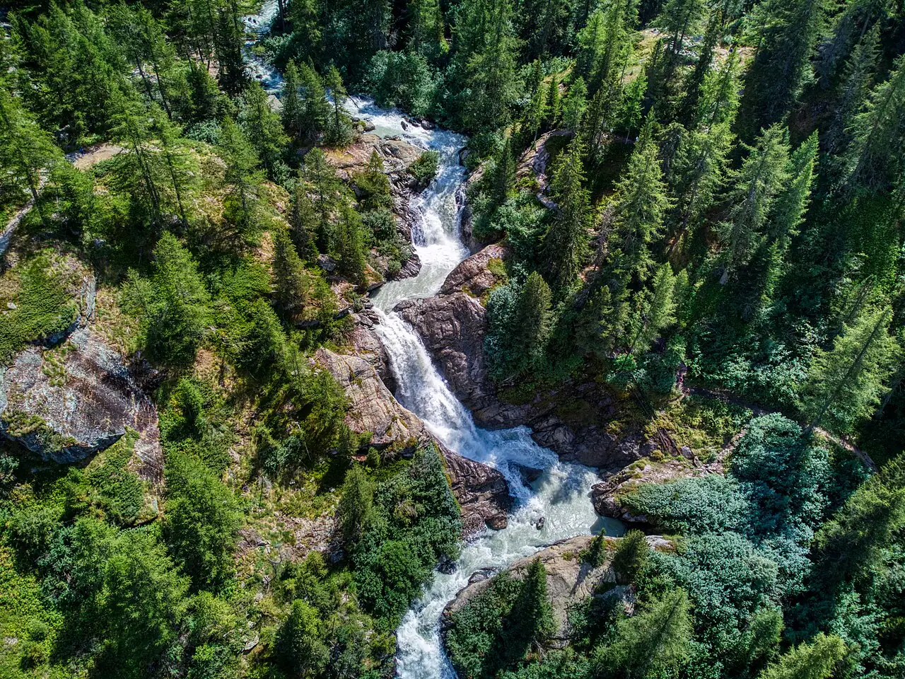
A climb alongside three great waterfalls fed by the Rutor glacier, up to the hut overlooking the lakes and the glacier's tongue.
- Difficulty
- E Hiking
- Length
- 10.4 km
- Elevation gain
- +880 m / −880 m
- Time
- 5–5.5 hours round trip
- Route
- Out and back
- Altitude
- 1601–2490 m
- Season
- Summer
Download the GPXDirections to the start ↗
Saved. You'll find everything in My trip, where you can split it into days and see it on the map.
Saved on this device: you can open it even without a connection. All your saved pages are in Offline guides.
The topographic map loads OpenTopoMap tiles (an external server) only when you open it.
The story
For centuries the Rutor glacial lake frightened the people of the valley: several times between the 16th and 19th centuries it suddenly burst through its ice dam, and the flood wave devastated the villages below.
Why go
Because in one day you go from forest to glacier, with water always beside you and Mont Blanc on the horizon.
Practical information
- Start
- La Joux, above La Thuile
- Finish
- Rifugio Albert Deffeyes, 2,494 m; back the same way
- Best time
- July–September
- Parking
- At La Joux; in high summer car access may be limited to the early morning, after which you walk up from La Thuile.
- By public transport
- Bus from Pré-Saint-Didier to La Thuile.
- Water
- At the hut; streams along the way.
- Shade
- Woodland in the first part, then fully exposed.
- Huts and refreshments
- Rifugio Deffeyes (seasonal).
- With children
- Yes as far as the third waterfall; the hut with fit teenagers.
Weather at the start
The forecast for the next 7 days at this spot: sky, temperatures, rain and wind.
Forecast by Open-Meteo (CC BY 4.0), from the models of national weather services. Your browser downloads it directly from Open-Meteo, and only when you ask. In the mountains and at sea the weather changes quickly: check the official forecast as well before you set off.
What to see on the route and nearby
- Rutor WaterfallsOn the route
- ★ Vineyards of Morgex and La Salle9 km from the start
- Courmayeur12 km from the start
More hikes in Aosta Valley
- 1Rifugio Vittorio Sella from ValnonteyE 10.1 km · +900 m · 5–6 hours · out and back
- 2★ Lago di Loie from LillazE 7.1 km · +810 m · 4 hours · out and back
- 3Rifugio Bonatti in Val FerretE 2.9 km · +320 m · 2–2.5 hours · out and back
- 4★ Ru MarseillerT 11.5 km · +510 m · 3–3.5 hours · point to point
- 5★ Lago di Miserin and Finestra di ChamporcherE 13 km · +720 m · 4–5 hours · out and back
- 6★ On foot to Chamois, the car-free villageE 4.9 km · +460 m · 2.5 hours · point to point
- 7★ Rifugio Oriondé and Croce CarrelEE 9.5 km · +880 m · 5 hours · out and back
- 9Lago Blu, the Matterhorn's mirrorT 3.3 km · +20 m · 1 hour round trip · out and back
- 10Rifugio Elisabetta and Lac Combal in Val VenyE 12.4 km · +560 m · 4.5–5 hours round trip · out and back
- 11★ Lago d'Arpy from Colle San CarloT 6.4 km · +130 m · 1.5–2 hours round trip · out and back
Routes © OpenStreetMap contributors (ODbL), via Waymarked Trails and BRouter; elevations from a digital terrain model. Times and elevation gains are indicative: waymarks on the ground and closure orders always take precedence.