On foot to Chamois, the car-free village
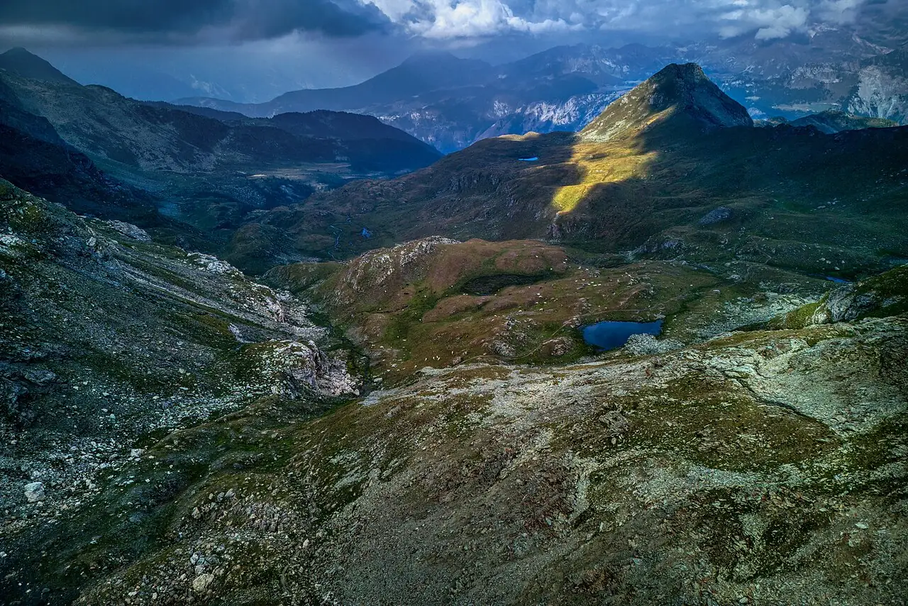
Arrive in Chamois the way people used to: on foot, among larches and summer pastures. The village has no roads for cars and can only be reached by cable car or on foot.
- Difficulty
- E Hiking
- Length
- 4.9 km
- Elevation gain
- +460 m / −190 m
- Time
- 2.5 hours
- Route
- Point to point
- Altitude
- 1518–1944 m
- Season
- Summer Autumn
Download the GPXDirections to the start ↗
Saved. You'll find everything in My trip, where you can split it into days and see it on the map.
Saved on this device: you can open it even without a connection. All your saved pages are in Offline guides.
The topographic map loads OpenTopoMap tiles (an external server) only when you open it.
The story
Chamois is the only municipality in Italy that cannot be reached by car: the village chose to stay without a road, linked to the valley floor by cable car. In the village you get around on foot and goods come up in the cabin.
Why go
Because walking into a car-free village, with the Matterhorn at the head of the valley, is something you won't forget.
Practical information
- Start
- Paquier (Valtournenche)
- Finish
- Chamois; return by cable car to Buisson
- Best time
- May–October
- Parking
- Car parks in Paquier and at the Buisson cable car station.
- By public transport
- Valtournenche bus from Châtillon; Buisson–Chamois cable car.
- Water
- Fountains in Chamois.
- Shade
- Larch woods in the first part.
- Huts and refreshments
- Cafés and restaurants in Chamois.
- With children
- Yes.
Weather at the start
The forecast for the next 7 days at this spot: sky, temperatures, rain and wind.
Forecast by Open-Meteo (CC BY 4.0), from the models of national weather services. Your browser downloads it directly from Open-Meteo, and only when you ask. In the mountains and at sea the weather changes quickly: check the official forecast as well before you set off.
What to see on the route and nearby
More hikes in Aosta Valley
- 1Rifugio Vittorio Sella from ValnonteyE 10.1 km · +900 m · 5–6 hours · out and back
- 2★ Lago di Loie from LillazE 7.1 km · +810 m · 4 hours · out and back
- 3Rifugio Bonatti in Val FerretE 2.9 km · +320 m · 2–2.5 hours · out and back
- 4★ Ru MarseillerT 11.5 km · +510 m · 3–3.5 hours · point to point
- 5★ Lago di Miserin and Finestra di ChamporcherE 13 km · +720 m · 4–5 hours · out and back
- 7★ Rifugio Oriondé and Croce CarrelEE 9.5 km · +880 m · 5 hours · out and back
- 8Rutor Waterfalls and Rifugio Deffeyes from La ThuileE 10.4 km · +880 m · 5–5.5 hours round trip · out and back
- 9Lago Blu, the Matterhorn's mirrorT 3.3 km · +20 m · 1 hour round trip · out and back
- 10Rifugio Elisabetta and Lac Combal in Val VenyE 12.4 km · +560 m · 4.5–5 hours round trip · out and back
- 11★ Lago d'Arpy from Colle San CarloT 6.4 km · +130 m · 1.5–2 hours round trip · out and back
Routes © OpenStreetMap contributors (ODbL), via Waymarked Trails and BRouter; elevations from a digital terrain model. Times and elevation gains are indicative: waymarks on the ground and closure orders always take precedence.