Lago di Miserin and Finestra di Champorcher
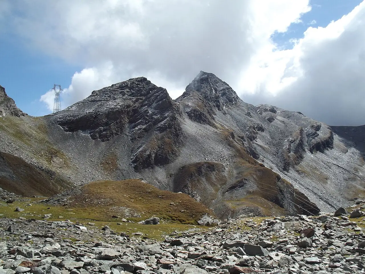
From the Dondena pastures you climb to Lago di Miserin, with its sanctuary on the shore, and then to the Finestra di Champorcher, the pass that looks down on the Cogne valley.
- Difficulty
- E Hiking
- Length
- 13 km
- Elevation gain
- +720 m / −720 m
- Time
- 4–5 hours
- Route
- Out and back
- Altitude
- 2089–2817 m
- Season
- Summer
Download the GPXDirections to the start ↗
Saved. You'll find everything in My trip, where you can split it into days and see it on the map.
Saved on this device: you can open it even without a connection. All your saved pages are in Offline guides.
The topographic map loads OpenTopoMap tiles (an external server) only when you open it.
The story
On the lakeshore, at almost 2,600 metres, stands the sanctuary of Notre-Dame-des-Neiges, the destination of a procession every summer for the feast of Our Lady of the Snows. The Finestra was the historic crossing between the Champorcher valley and Cogne, used by shepherds and merchants.
Why go
Because the lake with the little church reflected in the water is one of the loveliest sights in the region, in a side valley few tourists know.
Practical information
- Start
- Dondena (Champorcher)
- Finish
- Finestra di Champorcher (about 2,830 m) via Lago di Miserin, back the same way
- Best time
- July–September
- Parking
- Car park at the end of the road to Dondena.
- By public transport
- You need a car: buses only go as far as Champorcher.
- Water
- At the huts in summer.
- Shade
- None: high-altitude pastures.
- Huts and refreshments
- Rifugio Dondena and the hikers' lodge at Lago di Miserin (seasonal).
- With children
- Yes as far as the lake, with fit children.
Weather at the start
The forecast for the next 7 days at this spot: sky, temperatures, rain and wind.
Forecast by Open-Meteo (CC BY 4.0), from the models of national weather services. Your browser downloads it directly from Open-Meteo, and only when you ask. In the mountains and at sea the weather changes quickly: check the official forecast as well before you set off.
What to see on the route and nearby
More hikes in Aosta Valley
- 1Rifugio Vittorio Sella from ValnonteyE 10.1 km · +900 m · 5–6 hours · out and back
- 2★ Lago di Loie from LillazE 7.1 km · +810 m · 4 hours · out and back
- 3Rifugio Bonatti in Val FerretE 2.9 km · +320 m · 2–2.5 hours · out and back
- 4★ Ru MarseillerT 11.5 km · +510 m · 3–3.5 hours · point to point
- 6★ On foot to Chamois, the car-free villageE 4.9 km · +460 m · 2.5 hours · point to point
- 7★ Rifugio Oriondé and Croce CarrelEE 9.5 km · +880 m · 5 hours · out and back
- 8Rutor Waterfalls and Rifugio Deffeyes from La ThuileE 10.4 km · +880 m · 5–5.5 hours round trip · out and back
- 9Lago Blu, the Matterhorn's mirrorT 3.3 km · +20 m · 1 hour round trip · out and back
- 10Rifugio Elisabetta and Lac Combal in Val VenyE 12.4 km · +560 m · 4.5–5 hours round trip · out and back
- 11★ Lago d'Arpy from Colle San CarloT 6.4 km · +130 m · 1.5–2 hours round trip · out and back
Routes © OpenStreetMap contributors (ODbL), via Waymarked Trails and BRouter; elevations from a digital terrain model. Times and elevation gains are indicative: waymarks on the ground and closure orders always take precedence.