- Travel
- Italy
- Aosta Valley
- Hiking
Hiking in the Aosta Valley: trails at the foot of the four-thousanders
The Aosta Valley is Italy's most mountainous region: every side valley ends against a glacier. Here are the trails, from the classics to the less trodden, from the mountain huts of Gran Paradiso to medieval irrigation channels, with track, elevation profile, GPX and practical information.
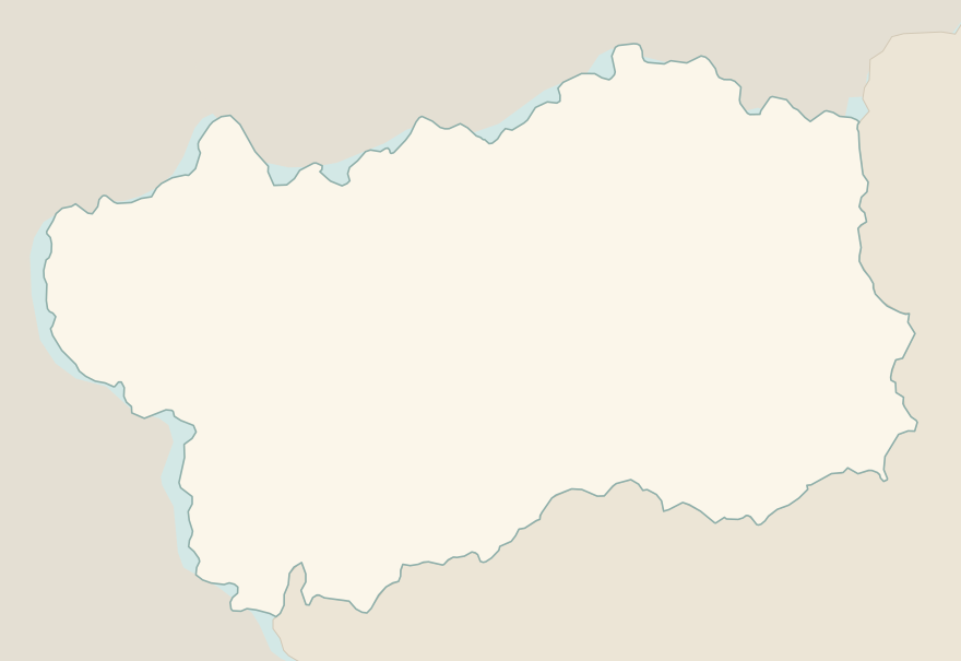
The numbers mark where each trail starts.
- 1Rifugio Vittorio Sella from ValnonteyE 10.1 km · +900 m · 5–6 hours · out and back
- 2★ Lago di Loie from LillazE 7.1 km · +810 m · 4 hours · out and back
- 3Rifugio Bonatti in Val FerretE 2.9 km · +320 m · 2–2.5 hours · out and back
- 4★ Ru MarseillerT 11.5 km · +510 m · 3–3.5 hours · point to point
- 5★ Lago di Miserin and Finestra di ChamporcherE 13 km · +720 m · 4–5 hours · out and back
- 6★ On foot to Chamois, the car-free villageE 4.9 km · +460 m · 2.5 hours · point to point
- 7★ Rifugio Oriondé and Croce CarrelEE 9.5 km · +880 m · 5 hours · out and back
- 8Rutor Waterfalls and Rifugio Deffeyes from La ThuileE 10.4 km · +880 m · 5–5.5 hours round trip · out and back
- 9Lago Blu, the Matterhorn's mirrorT 3.3 km · +20 m · 1 hour round trip · out and back
- 10Rifugio Elisabetta and Lac Combal in Val VenyE 12.4 km · +560 m · 4.5–5 hours round trip · out and back
- 11★ Lago d'Arpy from Colle San CarloT 6.4 km · +130 m · 1.5–2 hours round trip · out and back
No trails match the filters: try widening them.
How to read the CAI scale
Each trail is graded on the scale of the Club Alpino Italiano (Italian Alpine Club), the same one you'll see on the signposts. Grades assume dry ground: rain, snow or strong heat make a route harder.
- T Tourist 3 in this guide
- Roads, mule tracks or wide, easy paths with no route-finding problems.
- E Hiking 7 in this guide
- Waymarked trails over varied terrain: you need hiking boots and a basic level of fitness.
- EE Expert hikers 1 in this guide
- Exposed, steep or rocky sections, sometimes with chains: you need a sure foot and a head for heights.
- EEA Expert hikers with equipment
- Via ferratas or equipped routes: you need a harness, via ferrata set and helmet.
Before you set off
You'll feel the altitude
Many trails start above 1,600 metres and climb beyond 2,500: take it slowly, drink often and don't underestimate the ascent.
The weather changes fast
In summer thunderstorms often arrive in the early afternoon: start early and come down before 2–3 pm. Always carry a waterproof jacket and a warm layer.
Snow until July
Above 2,500 metres snowfields can linger until early summer. For the highest trails the best period runs from mid-July to mid-September.
In the Gran Paradiso National Park
Dogs are not allowed on many of the park's trails, no picking flowers, and keep your distance from the animals: ibex and chamois are used to people, but they are still wild.
Rafting on the Dora
For a day on the water, the Dora Baltea around Villeneuve and Arvier is the stretch used by the valley's rafting schools, from May to September.
Emergencies
Single emergency number 112. The Aosta Valley mountain rescue also operates by helicopter: keep your phone charged and share your GPS location.
Routes © OpenStreetMap contributors (ODbL), via Waymarked Trails and BRouter; elevations from a digital terrain model. Times and elevation gains are indicative: waymarks on the ground and closure orders always take precedence.