Cala Luna from Cala Fuili
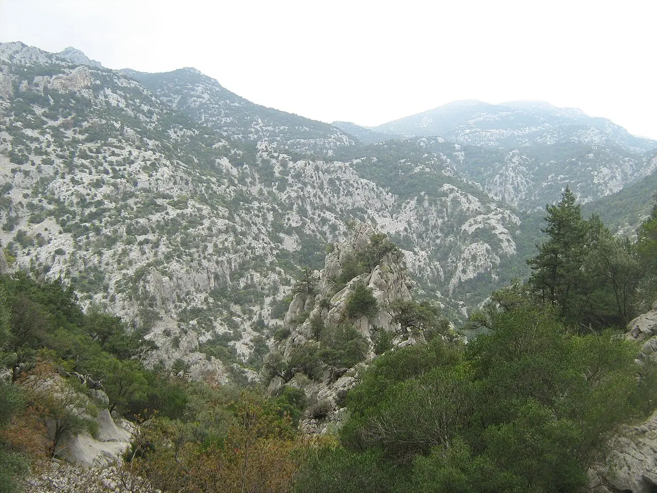
An up-and-down coastal path through the scrub, always in sight of the sea, links Cala Fuili to Cala Luna, the crescent beach below the caves and cliffs of the Gulf of Orosei.
- Difficulty
- E Hiking
- Length
- 9.6 km
- Elevation gain
- +260 m / −260 m
- Time
- 3–3.5 hours
- Route
- Out and back
- Altitude
- 11–124 m
- Season
- Spring Autumn
Download the GPXDirections to the start ↗
Saved. You'll find everything in My trip, where you can split it into days and see it on the map.
Saved on this device: you can open it even without a connection. All your saved pages are in Offline guides.
The topographic map loads OpenTopoMap tiles (an external server) only when you open it.
The story
Cala Luna is enclosed between limestone walls with a small pond behind; on the north side the cliff is hollowed by large caves. In 1974 Lina Wertmüller filmed Swept Away here.
Why go
Because arriving at Cala Luna on foot, before the boats, is the most beautiful way to see it.
Practical information
- Start
- Cala Fuili car park (Cala Gonone)
- Finish
- Cala Luna, back the same way or by boat
- Best time
- April–June and September–October
- Parking
- Paid car park above Cala Fuili, full early in summer.
- By public transport
- Bus from Dorgali to Cala Gonone; in summer boats from Cala Gonone let you return by sea.
- Water
- Nothing along the trail; in summer there is a kiosk at Cala Luna.
- Shade
- Little: low Mediterranean scrub.
- Huts and refreshments
- None.
- With children
- Yes, with children used to walking: ups and downs on rock.
Weather at the start
The forecast for the next 7 days at this spot: sky, temperatures, rain and wind.
Forecast by Open-Meteo (CC BY 4.0), from the models of national weather services. Your browser downloads it directly from Open-Meteo, and only when you ask. In the mountains and at sea the weather changes quickly: check the official forecast as well before you set off.
What to see on the route and nearby
- Cala LunaOn the route
- Grotta del Bue MarinoOn the route
- Dorgali and Cala Gonone3 km from the start
- Cala Sisine9 km from the start
- Serra Orrios11 km from the start
After the hike, into the water
More hikes in Sardinia
- 1Gorropu Gorge from Genna SilanaE 8 km · +600 m · 5–6 hours · out and back
- 2Nuragic village of TiscaliEE 8.5 km · +630 m · 4–5 hours · out and back
- 4Punta La Marmora from Bruncu SpinaE 9.6 km · +500 m · 3–3.5 hours · out and back
- 5Cala Goloritzé from the Golgo plateauE 6.8 km · +480 m · 3 hours round trip · out and back
Routes © OpenStreetMap contributors (ODbL), via Waymarked Trails and BRouter; elevations from a digital terrain model. Times and elevation gains are indicative: waymarks on the ground and closure orders always take precedence.