Hiking in Sardinia: trails in the Supramonte, the Gulf of Orosei and the Gennargentu
Sardinia at its wildest is discovered on foot: canyons hundreds of metres deep, nuragic villages hidden in sinkholes, charcoal burners' mule tracks leading down to coves otherwise reachable only from the sea. Here you will find our chosen routes, with track, elevation profile, GPX and practical information.
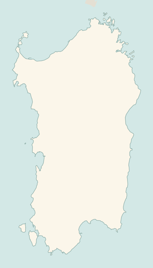
The numbers mark where each trail starts.
- 1Gorropu Gorge from Genna SilanaE 8 km · +600 m · 5–6 hours · out and back
- 2Nuragic village of TiscaliEE 8.5 km · +630 m · 4–5 hours · out and back
- 3Cala Luna from Cala FuiliE 9.6 km · +260 m · 3–3.5 hours · out and back
- 4Punta La Marmora from Bruncu SpinaE 9.6 km · +500 m · 3–3.5 hours · out and back
- 5Cala Goloritzé from the Golgo plateauE 6.8 km · +480 m · 3 hours round trip · out and back
No trails match the filters: try widening them.
How to read the CAI scale
Each trail is graded on the scale of the Club Alpino Italiano (Italian Alpine Club), the same one you'll see on the signposts. Grades assume dry ground: rain, snow or strong heat make a route harder.
- T Tourist
- Roads, mule tracks or wide, easy paths with no route-finding problems.
- E Hiking 4 in this guide
- Waymarked trails over varied terrain: you need hiking boots and a basic level of fitness.
- EE Expert hikers 1 in this guide
- Exposed, steep or rocky sections, sometimes with chains: you need a sure foot and a head for heights.
- EEA Expert hikers with equipment
- Via ferratas or equipped routes: you need a harness, via ferrata set and helmet.
Before you set off
Supramonte
The Supramonte is a limestone plateau where it is easy to get lost: sparse waymarking, no water, no shelter. For the longer routes, go with a local guide.
Heat and water
From June to September walk at dawn and carry at least two litres of water per person: on limestone the heat is fierce.
Tickets and guides
The Gorropu Gorge and the village of Tiscali have entrance fees, paid to the guide cooperatives that look after them.
Emergencies
Single emergency number 112. In the mountains and at sea there may be no phone signal.
Water sports in Sardinia →← Guide to Sardinia
Routes © OpenStreetMap contributors (ODbL), via Waymarked Trails and BRouter; elevations from a digital terrain model. Times and elevation gains are indicative: waymarks on the ground and closure orders always take precedence.