Punta La Marmora from Bruncu Spina
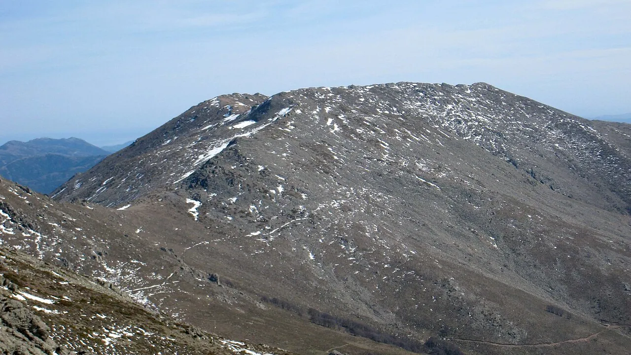
A ride along the open ridges of the Gennargentu to the highest summit in Sardinia, with a view that on clear days takes in the whole island, from one sea to the other.
- Difficulty
- E Hiking
- Length
- 9.6 km
- Elevation gain
- +500 m / −500 m
- Time
- 3–3.5 hours
- Route
- Out and back
- Altitude
- 1559–1811 m
- Season
- Summer Autumn
Download the GPXDirections to the start ↗
Saved. You'll find everything in My trip, where you can split it into days and see it on the map.
Saved on this device: you can open it even without a connection. All your saved pages are in Offline guides.
The topographic map loads OpenTopoMap tiles (an external server) only when you open it.
The story
The summit is named after Alberto Ferrero della Marmora, the Piedmontese officer and scientist who in the 19th century explored and mapped Sardinia as no one had before. Flocks and free-roaming horses still graze on the Gennargentu.
Why go
Because from the roof of Sardinia you can see almost the whole island.
Practical information
- Start
- Bruncu Spina ski station (Fonni)
- Finish
- Punta La Marmora (1834 m), back the same way
- Best time
- May–October
- Parking
- Car park at the Bruncu Spina ski station.
- By public transport
- You need a car.
- Water
- Seasonal springs; bring your own anyway.
- Shade
- None.
- Huts and refreshments
- None open along the route.
- With children
- Yes: along the ridge, with no technical difficulties.
Weather at the start
The forecast for the next 7 days at this spot: sky, temperatures, rain and wind.
Forecast by Open-Meteo (CC BY 4.0), from the models of national weather services. Your browser downloads it directly from Open-Meteo, and only when you ask. In the mountains and at sea the weather changes quickly: check the official forecast as well before you set off.
What to see on the route and nearby
More hikes in Sardinia
- 1Gorropu Gorge from Genna SilanaE 8 km · +600 m · 5–6 hours · out and back
- 2Nuragic village of TiscaliEE 8.5 km · +630 m · 4–5 hours · out and back
- 3Cala Luna from Cala FuiliE 9.6 km · +260 m · 3–3.5 hours · out and back
- 5Cala Goloritzé from the Golgo plateauE 6.8 km · +480 m · 3 hours round trip · out and back
Routes © OpenStreetMap contributors (ODbL), via Waymarked Trails and BRouter; elevations from a digital terrain model. Times and elevation gains are indicative: waymarks on the ground and closure orders always take precedence.