Nuragic village of Tiscali
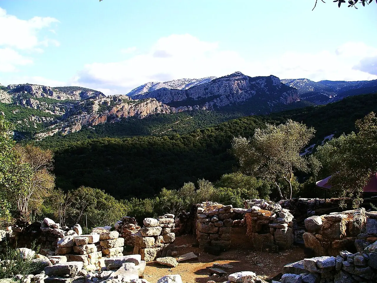
A trail climbs the walls of Monte Tiscali to a large collapsed sinkhole, inside which lie the remains of a nuragic village, lit by the light entering through an opening in the rock.
- Difficulty
- EE Expert hikers
- Length
- 8.5 km
- Elevation gain
- +630 m / −630 m
- Time
- 4–5 hours
- Route
- Out and back
- Altitude
- 190–429 m
- Season
- Spring Autumn Winter
Download the GPXDirections to the start ↗
Saved. You'll find everything in My trip, where you can split it into days and see it on the map.
Saved on this device: you can open it even without a connection. All your saved pages are in Offline guides.
The topographic map loads OpenTopoMap tiles (an external server) only when you open it.
The story
The village was inhabited from the nuragic age to Roman times: perhaps a refuge from conquerors, hidden inside the mountain. The round stone walls of the huts remain, among holm oaks and terebinths.
Why go
Because it is one of the most mysterious places in Sardinia, and the trail crosses the most beautiful part of the Supramonte.
Practical information
- Start
- S'Abba Arva bridge, Lanaittu valley (Oliena–Dorgali)
- Finish
- Tiscali village, back the same way
- Best time
- October–June
- Parking
- Clearing at the S'Abba Arva bridge, reached from the Su Gologone road.
- By public transport
- You need a car.
- Water
- Nothing along the trail.
- Shade
- Holm oak wood for much of the way.
- Huts and refreshments
- None.
- With children
- Only with fit teenagers: a climb on rock with a few passages over slabs.
Weather at the start
The forecast for the next 7 days at this spot: sky, temperatures, rain and wind.
Forecast by Open-Meteo (CC BY 4.0), from the models of national weather services. Your browser downloads it directly from Open-Meteo, and only when you ask. In the mountains and at sea the weather changes quickly: check the official forecast as well before you set off.
What to see on the route and nearby
- ★ Tiscali villageOn the route
- Su GologoneOn the route
- Gorropu Gorge4 km from the start
- Cala Luna9 km from the start
- Grotta del Bue Marino10 km from the start
After the hike, into the water
More hikes in Sardinia
- 1Gorropu Gorge from Genna SilanaE 8 km · +600 m · 5–6 hours · out and back
- 3Cala Luna from Cala FuiliE 9.6 km · +260 m · 3–3.5 hours · out and back
- 4Punta La Marmora from Bruncu SpinaE 9.6 km · +500 m · 3–3.5 hours · out and back
- 5Cala Goloritzé from the Golgo plateauE 6.8 km · +480 m · 3 hours round trip · out and back
Routes © OpenStreetMap contributors (ODbL), via Waymarked Trails and BRouter; elevations from a digital terrain model. Times and elevation gains are indicative: waymarks on the ground and closure orders always take precedence.